


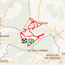

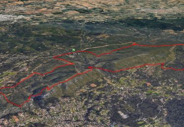
11,8 km | 15,5 km-effort

être à l'heure


Kostenlosegpshiking-Anwendung
 SityTrail
IGN / Geografische Institute
SityTrail World
Die Welt öffnet sich für Sie
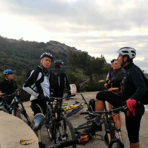
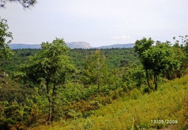
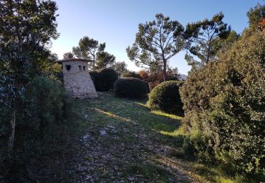
Tour Mountainbike von 23 km verfügbar auf Provence-Alpes-Côte d'Azur, Bouches-du-Rhône, La Bouilladisse. Diese Tour wird von JeudaÏ vorgeschlagen.
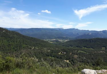
Jolie tour dans le massif du Regagnas. Une multitude de single en descente accessible par des remontés plutôt bien roulantes!

Mountainbike

Wandern
Wandern

Zu Fuß

Wandern

Zu Fuß
Wandern
Mountainbike
Wandern