


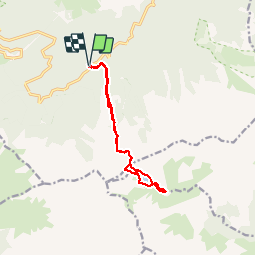

9,8 km | 17,6 km-effort

Benutzer


Kostenlosegpshiking-Anwendung
 SityTrail
IGN / Geografische Institute
SityTrail World
Die Welt öffnet sich für Sie
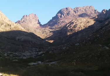
Tour Wandern von 12,2 km verfügbar auf Korsika, Haute-Corse, Albertacce. Diese Tour wird von PVERTICAL vorgeschlagen.
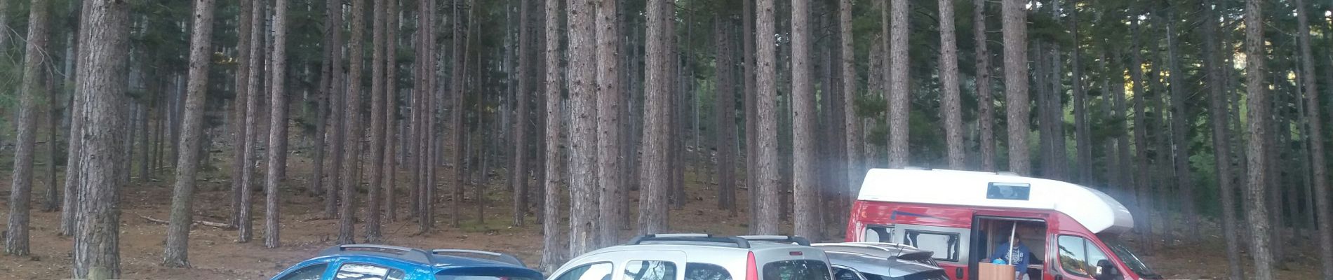
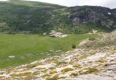
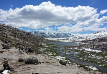
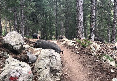
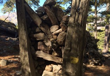
depuis le parking de la maison forestière Poppaghja. fontaine au départ et au lac Nino (côté droit). suivre trait jaune.


Wandern
Wandern
Wandern
Andere Aktivitäten

Wandern
Wandern
Wandern
Wandern
Wandern