


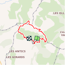

16,2 km | 28 km-effort

Benutzer


Kostenlosegpshiking-Anwendung
 SityTrail
IGN / Geografische Institute
SityTrail World
Die Welt öffnet sich für Sie
Tour Wandern von 10,9 km verfügbar auf Provence-Alpes-Côte d'Azur, Hochalpen, Chorges. Diese Tour wird von Dervalmarc vorgeschlagen.
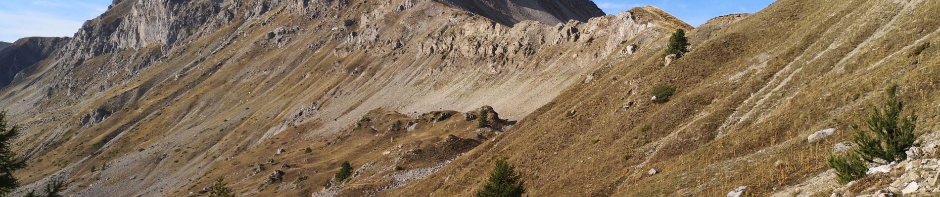
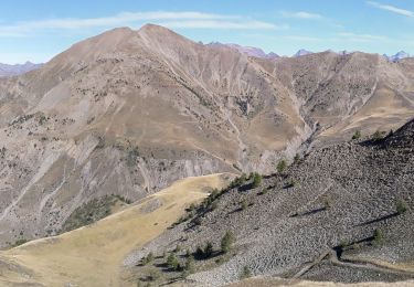
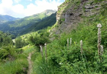
Rando très sportive. Nombreux passages aérien en crêtes.
Descente de la Pousterlle attention au vide.
Passage gazeux.


Wandern

Wandern

Wandern

Wandern

Wandern
Wandern

Wandern

Wandern
Wandern