![](/images/other/stat-length.png)
en forêt de Retz_80_sur la Route Tortue et la Route Droite
en forêt de Retz
forêts de France
![Länge](/images/other/stat-length.png)
![Maximale Höhe](https://static1.geolcdn.com/siteimages/upload/files/1508320355ic_sort_altitude_max_24dp.png)
![Positive Höhendifferenz](https://static1.geolcdn.com/siteimages/upload/files/1508320355ic_sort_den_pos_24dp.png)
![Km-Effort](/images/other/stat-length.png)
![Min. Höhe](https://static1.geolcdn.com/siteimages/upload/files/1508320355ic_sort_altitude_min_24dp.png)
![Negative Höhendifferenz](https://static1.geolcdn.com/siteimages/upload/files/1508320355ic_sort_den_neg_24dp.png)
![Boucle](https://static1.geolcdn.com/siteimages/upload/files/16400158638029165_repeat_loop_refresh_sync_direction_icon.png)
![Wandern](https://static1.geolcdn.com/sitytour/trail-icons/101.png)
4h45
Schwierigkeit : Unbekannt
![Scannen Sie diesen QR-Code, um die Tour in der SityTrail-Anwendung zu öffnen](https://capi.geolives.com/qq0zvz2zws4bq2lad0pu/sitytour/trails/2209354/qr.png?size=200)
Kostenlosegpshiking-Anwendung
Über SityTrail
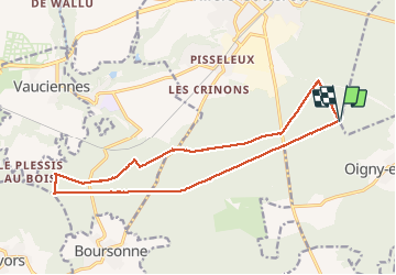
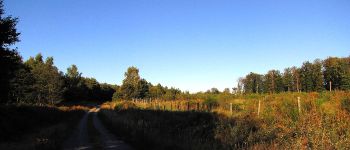
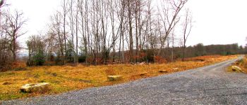
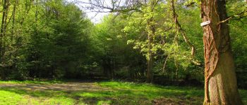
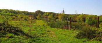
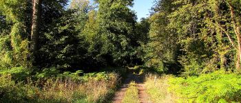
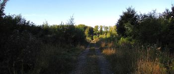
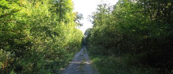
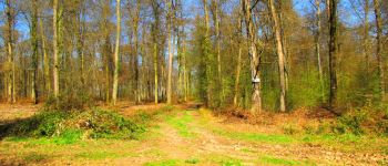
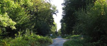
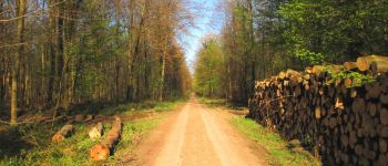
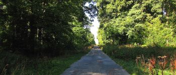
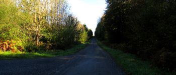
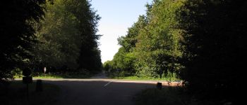
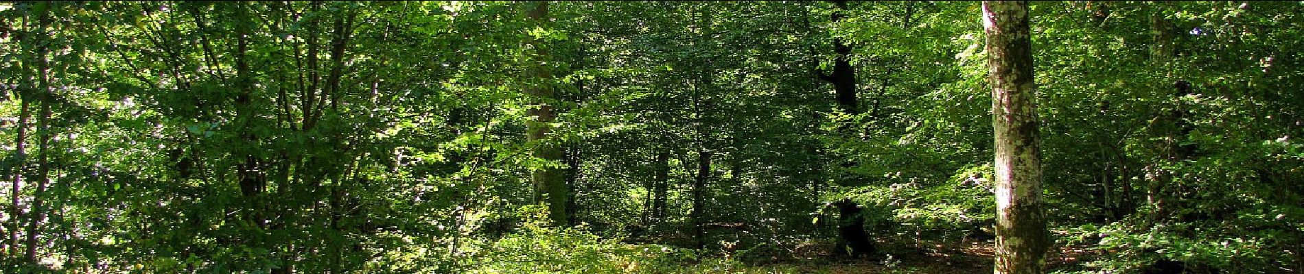
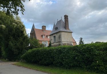
Tour Wandern von 16,8 km verfügbar auf Nordfrankreich, Aisne, Dampleux. Diese Tour wird von en forêt de Retz vorgeschlagen.
Beschreibung
09/ 2019
batterie de recharge pour iphone obligatoire.
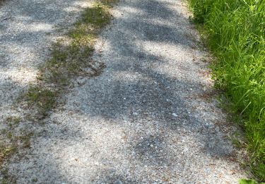
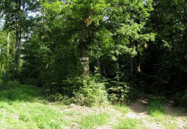
Au départ du carrefour du Rond de Châtillon, suivre la Route Coquetière jusqu'au carrefour du Poteau Coquetier. Prendre à gauche la Route Tortue et la suivre qu'au carrefour de la Mare aux Fougères. Tourner à droite dans la Route de la Queue d'Ham et continuer jusqu'au carrefour de la Sorcière. Prendre à gauche la laie de la Bruyère aux Loups et allez au carrefour des Boiteux. Retrouver la Route Tortue et la suivre jusqu'au carrefour du Plessis aux Bois (pas indiqué sur les cartes IGN). Tourner à gauche dans la Route Neuve et rejoindre le carrefour du Rond des Dames. Prendre la Route Droite et continuer pour revenir au point de départ.
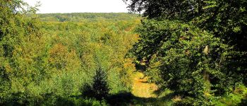
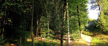
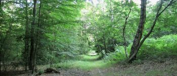
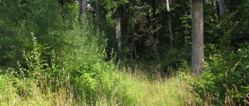
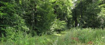
POIs
Ort
Kommentare
Touren in der Umgebung
![Tour Wandern Villers-Cotterêts - maison forestière de mortefert > (vers) billemont > (vers) villers cotteret - (vers) baisemont > maison forestière de mortefert - Photo](https://media.geolcdn.com/t/375/260/7c96e6fd-59d3-40c1-ab9a-4f6d422cfe4a.jpg&format=jpg&maxdim=2)
![Wandern Wandern](https://static1.geolcdn.com/sitytour/trail-icons/101.png)
Wandern
![](/images/other/stat-length.png)
![](https://static1.geolcdn.com/siteimages/upload/files/16400158638029165_repeat_loop_refresh_sync_direction_icon.png)
![Tour Wandern Corcy - FLEURY .AISNE - Photo](https://media.geolcdn.com/t/375/260/761ff574-2cac-48f6-adc9-2cc5319599a5.jpg&format=jpg&maxdim=2)
![Wandern Wandern](https://static1.geolcdn.com/sitytour/trail-icons/101.png)
Wandern
![](/images/other/stat-length.png)
![](https://static1.geolcdn.com/siteimages/upload/files/16400158638029165_repeat_loop_refresh_sync_direction_icon.png)
![Tour Wandern Fleury - en Forêt de Retz_92_05_2022_Rond d'Orléans_Chapeau des Cordeliers_la Laie des étangs de Longpont - Photo](https://media.geolcdn.com/t/375/260/906f40d3-9cf9-4a7a-b2a8-7fc1acf87fb9.jpg&format=jpg&maxdim=2)
![Wandern Wandern](https://static1.geolcdn.com/sitytour/trail-icons/101.png)
Wandern
![](/images/other/stat-length.png)
![](https://static1.geolcdn.com/siteimages/upload/files/16400158638029165_repeat_loop_refresh_sync_direction_icon.png)
![Tour Wandern Corcy - en forêt de Retz_91_04_2022_la Laie de la Belle Epine - Photo](https://media.geolcdn.com/t/375/260/28921992-4eb0-4c37-93fe-d10d0fd6e5c8.jpg&format=jpg&maxdim=2)
![Wandern Wandern](https://static1.geolcdn.com/sitytour/trail-icons/101.png)
Wandern
![](/images/other/stat-length.png)
![](https://static1.geolcdn.com/siteimages/upload/files/16400158638029165_repeat_loop_refresh_sync_direction_icon.png)
![Wandern Wandern](https://static1.geolcdn.com/sitytour/trail-icons/101.png)
Wandern
![](/images/other/stat-length.png)
![](https://static1.geolcdn.com/siteimages/upload/files/16400158638029165_repeat_loop_refresh_sync_direction_icon.png)
![Tour Wandern Villers-Cotterêts - Domaine de Coyolles - Photo](https://media.geolcdn.com/t/375/260/3c6e9d1b-7123-437c-8691-246218d3d596.jpg&format=jpg&maxdim=2)
![Wandern Wandern](https://static1.geolcdn.com/sitytour/trail-icons/101.png)
Wandern
![](/images/other/stat-length.png)
![](https://static1.geolcdn.com/siteimages/upload/files/16400158638029165_repeat_loop_refresh_sync_direction_icon.png)
![Tour Wandern Villers-Cotterêts - en forêt de Retz_87_la Laie des Masures par la Route Chrétiennette - Photo](https://media.geolcdn.com/t/375/260/9739a8e6-d34d-474c-95dd-6abe8fc69648.jpg&format=jpg&maxdim=2)
![Wandern Wandern](https://static1.geolcdn.com/sitytour/trail-icons/101.png)
Wandern
![](/images/other/stat-length.png)
![](https://static1.geolcdn.com/siteimages/upload/files/16400158638029165_repeat_loop_refresh_sync_direction_icon.png)
![Tour Wandern Oigny-en-Valois - en forêt de Retz_86_les Laies de la Poudrerie et de la Fosse aux Demoiselles - Photo](https://media.geolcdn.com/t/375/260/5d558735-0a3b-4973-9268-9d4b9e0d42da.jpg&format=jpg&maxdim=2)
![Wandern Wandern](https://static1.geolcdn.com/sitytour/trail-icons/101.png)
Wandern
![](/images/other/stat-length.png)
![](https://static1.geolcdn.com/siteimages/upload/files/16400158638029165_repeat_loop_refresh_sync_direction_icon.png)
![Wandern Wandern](https://static1.geolcdn.com/sitytour/trail-icons/101.png)
Wandern
![](/images/other/stat-length.png)
![](https://static1.geolcdn.com/siteimages/upload/files/16400158638029165_repeat_loop_refresh_sync_direction_icon.png)