![](/images/other/stat-length.png)
![Tour Elektrofahrrad Celles - Circuit Celles - event Rally Voitures old timers - Photo](https://media.geolcdn.com/t/1900/400/0625e60f-9c9e-4c04-829d-eb87a8c512da.jpg&format=pjpeg&maxdim=2)
Circuit Celles - event Rally Voitures old timers
bve9600
Benutzer
![Länge](/images/other/stat-length.png)
Länge
34 km
![Maximale Höhe](https://static1.geolcdn.com/siteimages/upload/files/1508320355ic_sort_altitude_max_24dp.png)
Maximale Höhe
42 m
![Positive Höhendifferenz](https://static1.geolcdn.com/siteimages/upload/files/1508320355ic_sort_den_pos_24dp.png)
Positive Höhendifferenz
181 m
![Km-Effort](/images/other/stat-length.png)
Km-Effort
36 km
![Min. Höhe](https://static1.geolcdn.com/siteimages/upload/files/1508320355ic_sort_altitude_min_24dp.png)
Min. Höhe
6 m
![Negative Höhendifferenz](https://static1.geolcdn.com/siteimages/upload/files/1508320355ic_sort_den_neg_24dp.png)
Negative Höhendifferenz
177 m
![Boucle](https://static1.geolcdn.com/siteimages/upload/files/16400158638029165_repeat_loop_refresh_sync_direction_icon.png)
Boucle
Ja
Erstellungsdatum :
2019-09-15 07:07:35.207
Letzte Änderung :
2019-10-06 14:20:39.789
![Elektrofahrrad](https://static1.geolcdn.com/sitytour/trail-icons/205.png)
2h57
Schwierigkeit : Einfach
![Scannen Sie diesen QR-Code, um die Tour in der SityTrail-Anwendung zu öffnen](https://capi.geolives.com/qq0zvz2zws4bq2lad0pu/sitytour/trails/2203148/qr.png?size=200)
Kostenlosegpshiking-Anwendung
Über SityTrail
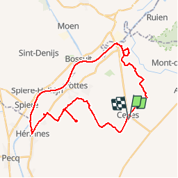
Tour Elektrofahrrad von 34 km verfügbar auf Wallonien, Hennegau, Celles. Diese Tour wird von bve9600 vorgeschlagen.
Beschreibung
DIMANCHE 15 SEPTEMBRE 2019 - À CELLES
LES 100 ANS DE ...
#79 VOITURES AU DÉPART DE CETTE ÉDITION.
Animation & exposition des autos.
Balade vélo dans la région.
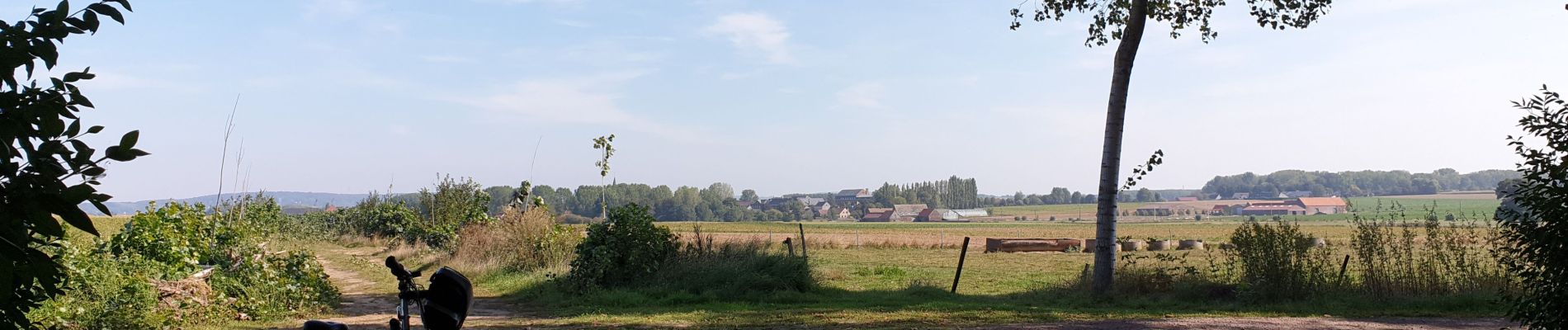
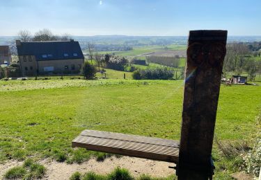
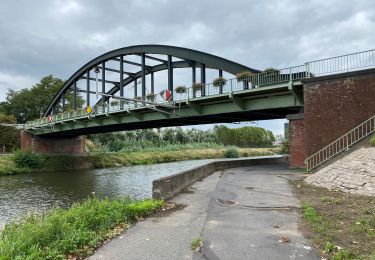
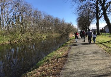
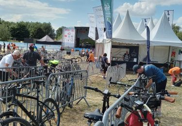
Ort
Land:
Belgium
Region :
Wallonien
Abteilung/Provinz :
Hennegau
Kommune :
Celles
Standort:
Celles
Gehen Sie:(Dec)
Gehen Sie:(UTM)
532385 ; 5617761 (31U) N.
Kommentare
Touren in der Umgebung
![Tour Zu Fuß Avelgem - Bouvrie wandelroute - Photo](https://media.geolcdn.com/t/375/260/545033be-3693-4987-a9ee-3d2a17148c1c.jpeg&format=jpg&maxdim=2)
![Zu Fuß Zu Fuß](https://static1.geolcdn.com/sitytour/trail-icons/100.png)
Bouvrie wandelroute
Zu Fuß
Einfach
Avelgem,
Flandern,
Westflandern,
Belgium
![](/images/other/stat-length.png)
5,8 km | 6,3 km-effort
1h 25min
![](https://static1.geolcdn.com/siteimages/upload/files/16400158638029165_repeat_loop_refresh_sync_direction_icon.png)
Ja
![Tour Zu Fuß Celles - La boucle du Château du Quesnoy - Photo](https://media.geolcdn.com/t/375/260/ext.jpg?maxdim=2&url=https%3A%2F%2Fpivotmedia.tourismewallonie.be%2FANX-02-000JP5%2FANX-02-000JP5.jpg)
![Zu Fuß Zu Fuß](https://static1.geolcdn.com/sitytour/trail-icons/100.png)
La boucle du Château du Quesnoy
Zu Fuß
Einfach
(1)
Celles,
Wallonien,
Hennegau,
Belgium
![](/images/other/stat-length.png)
7,5 km | 7,9 km-effort
1h 47min
![](https://static1.geolcdn.com/siteimages/upload/files/16400158638029165_repeat_loop_refresh_sync_direction_icon.png)
Ja
![Tour Pferd Celles - Boucle de Celles - Photo](https://media.geolcdn.com/t/375/260/ext.jpg?maxdim=2&url=https%3A%2F%2Fpivotmedia.tourismewallonie.be%2FANX-02-000EJO%2FANX-02-000EJO.jpg)
![Pferd Pferd](https://static1.geolcdn.com/sitytour/trail-icons/300.png)
Boucle de Celles
Pferd
Sehr leicht
Celles,
Wallonien,
Hennegau,
Belgium
![](/images/other/stat-length.png)
34 km | 37 km-effort
Unbekannt
![](https://static1.geolcdn.com/siteimages/upload/files/16400158638029165_repeat_loop_refresh_sync_direction_icon.png)
Ja
![Tour Zu Fuß Mont-de-l'Enclus - Entre Orroir et Ruien - Photo](https://media.geolcdn.com/t/375/260/ext.jpg?maxdim=2&url=https%3A%2F%2Fpivotmedia.tourismewallonie.be%2FANX-02-000EUH%2FANX-02-000EUH.jpg)
![Zu Fuß Zu Fuß](https://static1.geolcdn.com/sitytour/trail-icons/100.png)
Entre Orroir et Ruien
Zu Fuß
Einfach
Mont-de-l'Enclus,
Wallonien,
Hennegau,
Belgium
![](/images/other/stat-length.png)
9 km | 12,5 km-effort
2h 51min
![](https://static1.geolcdn.com/siteimages/upload/files/16400158638029165_repeat_loop_refresh_sync_direction_icon.png)
Nein
![Tour Wandern Mont-de-l'Enclus - Amougies 16 km - Photo](https://media.geolcdn.com/t/375/260/96a7ba93-acbe-40e9-93bc-ba80e8065cb4.jpg&format=jpg&maxdim=2)
![Wandern Wandern](https://static1.geolcdn.com/sitytour/trail-icons/101.png)
Amougies 16 km
Wandern
Einfach
Mont-de-l'Enclus,
Wallonien,
Hennegau,
Belgium
![](/images/other/stat-length.png)
16 km | 19,5 km-effort
3h 58min
![](https://static1.geolcdn.com/siteimages/upload/files/16400158638029165_repeat_loop_refresh_sync_direction_icon.png)
Ja
![Tour Wandern Celles - Escanaffles 11 Km - Photo](https://media.geolcdn.com/t/375/260/caf3c348-a8bd-4e11-a9e8-e1b45c716e49.jpg&format=jpg&maxdim=2)
![Wandern Wandern](https://static1.geolcdn.com/sitytour/trail-icons/101.png)
Escanaffles 11 Km
Wandern
Sehr leicht
Celles,
Wallonien,
Hennegau,
Belgium
![](/images/other/stat-length.png)
12,9 km | 13,8 km-effort
2h 28min
![](https://static1.geolcdn.com/siteimages/upload/files/16400158638029165_repeat_loop_refresh_sync_direction_icon.png)
Ja
![Tour Wandern Mont-de-l'Enclus - Par delà l enclus - Photo](https://media.geolcdn.com/t/375/260/ext.jpg?maxdim=2&url=https%3A%2F%2Fstatic1.geolcdn.com%2Fsiteimages%2Fupload%2Ffiles%2F1553511878bg_sport_marche.png)
![Wandern Wandern](https://static1.geolcdn.com/sitytour/trail-icons/101.png)
Par delà l enclus
Wandern
Medium
(1)
Mont-de-l'Enclus,
Wallonien,
Hennegau,
Belgium
![](/images/other/stat-length.png)
15,9 km | 20 km-effort
3h 13min
![](https://static1.geolcdn.com/siteimages/upload/files/16400158638029165_repeat_loop_refresh_sync_direction_icon.png)
Ja
![Tour Wandern Avelgem - bossuit 22 km - Photo](https://media.geolcdn.com/t/375/260/ext.jpg?maxdim=2&url=https%3A%2F%2Fservices.sitytrail.com%2FGeolivesWS%2FDownloadMedia.ashx%3FTrailID%3D1126000%26Media%3D20190324152540.jpg)
![Wandern Wandern](https://static1.geolcdn.com/sitytour/trail-icons/101.png)
bossuit 22 km
Wandern
Sehr leicht
Avelgem,
Flandern,
Westflandern,
Belgium
![](/images/other/stat-length.png)
22 km | 24 km-effort
5h 21min
![](https://static1.geolcdn.com/siteimages/upload/files/16400158638029165_repeat_loop_refresh_sync_direction_icon.png)
Ja
![Tour Rennrad Celles - vélo ravel 2 - Photo](https://media.geolcdn.com/t/375/260/5afa3f97-6a3a-4a9c-8acc-6de5cb874375.jpg&format=jpg&maxdim=2)
![Rennrad Rennrad](https://static1.geolcdn.com/sitytour/trail-icons/201.png)
vélo ravel 2
Rennrad
Einfach
Celles,
Wallonien,
Hennegau,
Belgium
![](/images/other/stat-length.png)
10,9 km | 11,8 km-effort
48min
![](https://static1.geolcdn.com/siteimages/upload/files/16400158638029165_repeat_loop_refresh_sync_direction_icon.png)
Nein