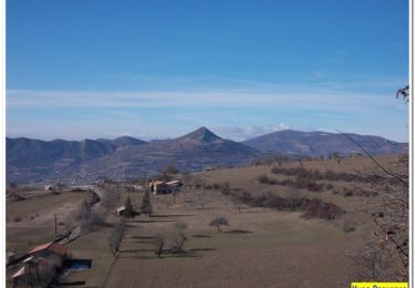
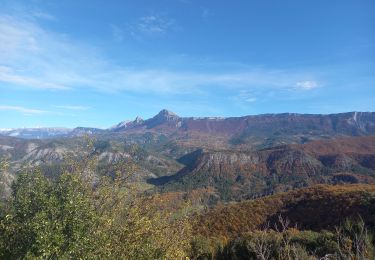
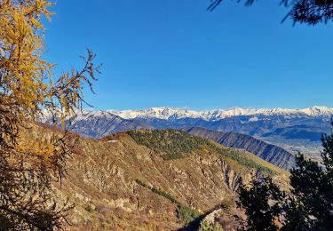
15,4 km | 29 km-effort
Vol rando au Cousson
Nicomontagnes
Benutzer
Länge
11,2 km
Maximale Höhe
1499 m
Positive Höhendifferenz
952 m
Km-Effort
24 km
Min. Höhe
579 m
Negative Höhendifferenz
957 m
Boucle
Ja
Erstellungsdatum :
2019-09-15 06:28:29.735
Letzte Änderung :
2019-09-15 08:31:09.828
1h41
Schwierigkeit : Einfach
Kostenlosegpshiking-Anwendung
Über SityTrail
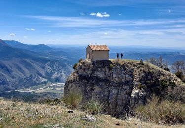
Tour Gleitschirmfliegen von 11,2 km verfügbar auf Provence-Alpes-Côte d'Azur, Alpes-de-Haute-Provence, Digne-les-Bains. Diese Tour wird von Nicomontagnes vorgeschlagen.
Ort
Land:
France
Region :
Provence-Alpes-Côte d'Azur
Abteilung/Provinz :
Alpes-de-Haute-Provence
Kommune :
Digne-les-Bains
Standort:
Unknown
Gehen Sie:(Dec)
Gehen Sie:(UTM)
277820 ; 4884796 (32T) N.
Kommentare
Touren in der Umgebung
Le Cousson
Wandern
Schwierig
(1)
Digne-les-Bains,
Provence-Alpes-Côte d'Azur,
Alpes-de-Haute-Provence,
France
6h 39min
Ja
Autour de Courbons - Digne les Bains
Wandern
Medium
(1)
Digne-les-Bains,
Provence-Alpes-Côte d'Azur,
Alpes-de-Haute-Provence,
France
12,6 km | 18,4 km-effort
5h 0min
Ja
Chapelle St Pancrace 18.11.23
Wandern
Einfach
Digne-les-Bains,
Provence-Alpes-Côte d'Azur,
Alpes-de-Haute-Provence,
France
5,2 km | 8,3 km-effort
1h 50min
Ja
65bis-Digne- Cousson N et S- Caramantran- Digne
Wandern
Medium
(1)
Digne-les-Bains,
Provence-Alpes-Côte d'Azur,
Alpes-de-Haute-Provence,
France
17,4 km | 32 km-effort
3h 49min
Ja
Terres Noires 2011 (50km)
Mountainbike
Schwierig
(2)
Digne-les-Bains,
Provence-Alpes-Côte d'Azur,
Alpes-de-Haute-Provence,
France
46 km | 63 km-effort
5h 0min
Ja
Sommet-de-la-bigue-en-boucle
Wandern
Sehr schwierig
Digne-les-Bains,
Provence-Alpes-Côte d'Azur,
Alpes-de-Haute-Provence,
France
12 km | 22 km-effort
5h 5min
Ja
Tour du Cousson
Wandern
Medium
Entrages,
Provence-Alpes-Côte d'Azur,
Alpes-de-Haute-Provence,
France
12,6 km | 22 km-effort
6h 19min
Ja
Le Cousson 19.11.23
Wandern
Medium
Entrages,
Provence-Alpes-Côte d'Azur,
Alpes-de-Haute-Provence,
France
12,5 km | 22 km-effort
4h 30min
Ja
Rando Col de Peipin Courbons
Wandern
Medium
Digne-les-Bains,
Provence-Alpes-Côte d'Azur,
Alpes-de-Haute-Provence,
France
18,5 km | 27 km-effort
5h 55min
Ja