


3,6 km | 4,2 km-effort

Randonnez sur et autour des GR ® wallons (Sentiers de Grande Randonnée). PRO


Kostenlosegpshiking-Anwendung
 SityTrail
IGN / Geografische Institute
SityTrail World
Die Welt öffnet sich für Sie
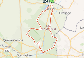
Tour Wandern von 15,7 km verfügbar auf Wallonien, Hennegau, Belœil. Diese Tour wird von GR Rando vorgeschlagen.
Lesdain – Bléharies – Laplaigne – Hollain – Lesdain
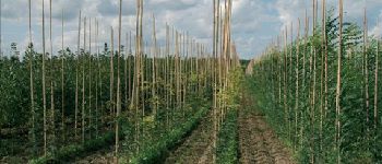
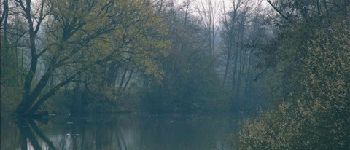
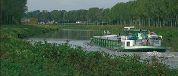
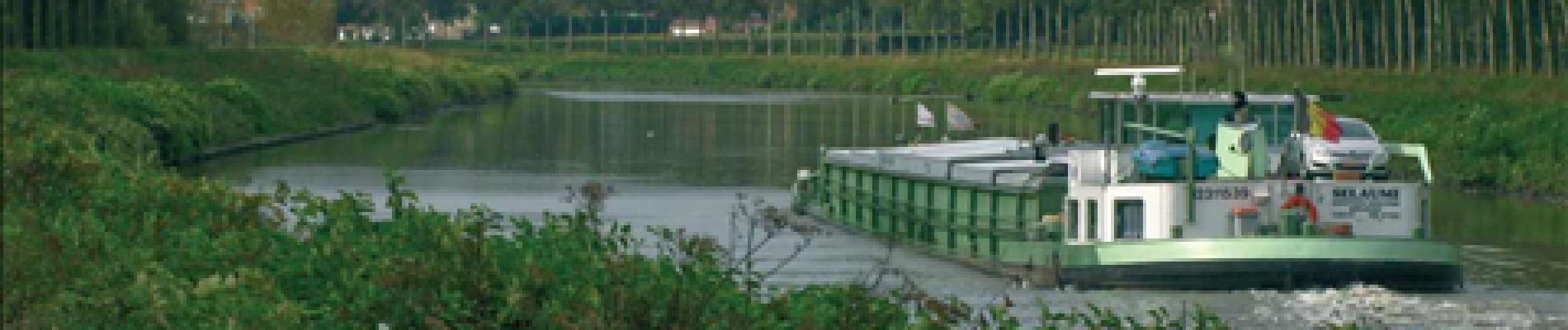
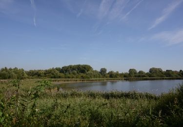
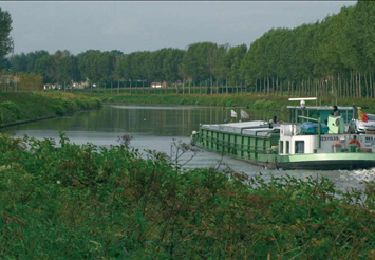
Si vous aimez randonner en terrain plat, c’est vraisemblablement la plus plate des RB de Wallonie (entre 10 mètres et 42 mètres d’altitude). En hiver, le terrain peut être particulièrement boueux. Les autres saisons sont conseillées pour la diversité des coloris et des paysages. En effet, les milieux parcourus sont essentiellement constitués de pépinières, de peupleraies, de hêtraies et de champs de fleurs. Citons les festivités principales liées à cet environnement : la fête de la Rose à Lesdain (le premier dimanche de septembre), la fête de la Pomme à Rongy, (le premier dimanche d’octobre), la promenade des Jonquilles à Howardries (le deuxième week-end de mars) et l’Artifoire à Hollain (le week-end du 21 juillet).
Cartographie et documentation :
Cartes IGN au 1 : 20 000, 44/1-2 « La Glanerie – Brunehaut » et 44/3-4 « Bléharies – Péruwelz ».
Topo-guide du GR 123/121/122 « Tour du Hainaut occidental ».
Où se désaltérer et se restaurer :
Cafés et restaurants à Lesdain et à Bléharies.


Wandern
Wandern

Pferd

Zu Fuß

Zu Fuß
Wandern
Wandern
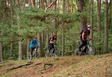
Mountainbike

Mountainbike