


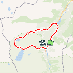

3,6 km | 5,1 km-effort


Benutzer


Kostenlosegpshiking-Anwendung
 SityTrail
IGN / Geografische Institute
SityTrail World
Die Welt öffnet sich für Sie
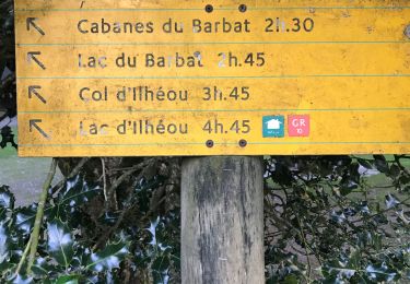
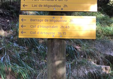
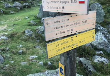
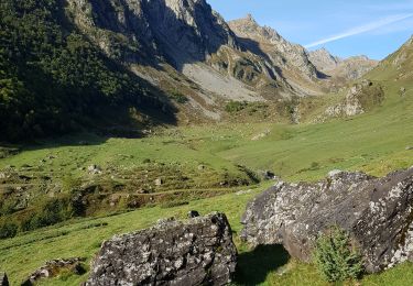
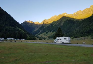
Tour Wandern von 15,3 km verfügbar auf Okzitanien, Hautes-Pyrénées, Arrens-Marsous. Diese Tour wird von pacha56 vorgeschlagen.
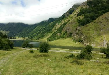
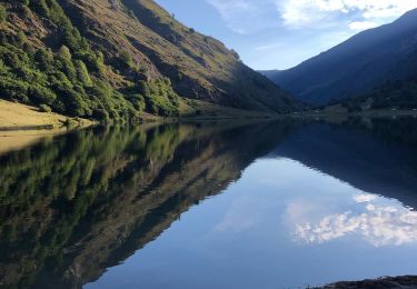
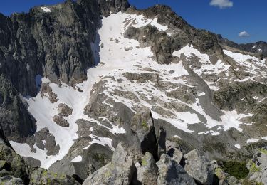
Belle randonnée, le début est long avant d'arriver au lac Migouélou, pas mal de pierriers à la descente.. belles vues et mûres, myrtilles et framboises à déguster...
Wandern
Wandern
Wandern
Wandern
Wandern
Wandern
Wandern

Wandern
Wandern