


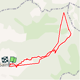

16,1 km | 26 km-effort

Benutzer


Kostenlosegpshiking-Anwendung
 SityTrail
IGN / Geografische Institute
SityTrail World
Die Welt öffnet sich für Sie
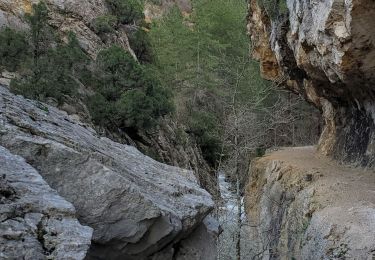
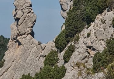
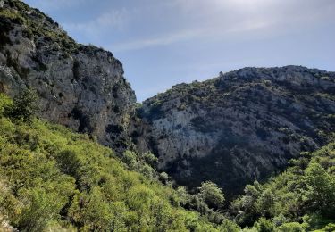
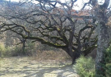
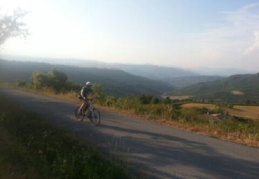
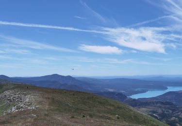
Tour Wandern von 9,4 km verfügbar auf Provence-Alpes-Côte d'Azur, Alpes-de-Haute-Provence, Saint-Jurs. Diese Tour wird von jmv77 vorgeschlagen.
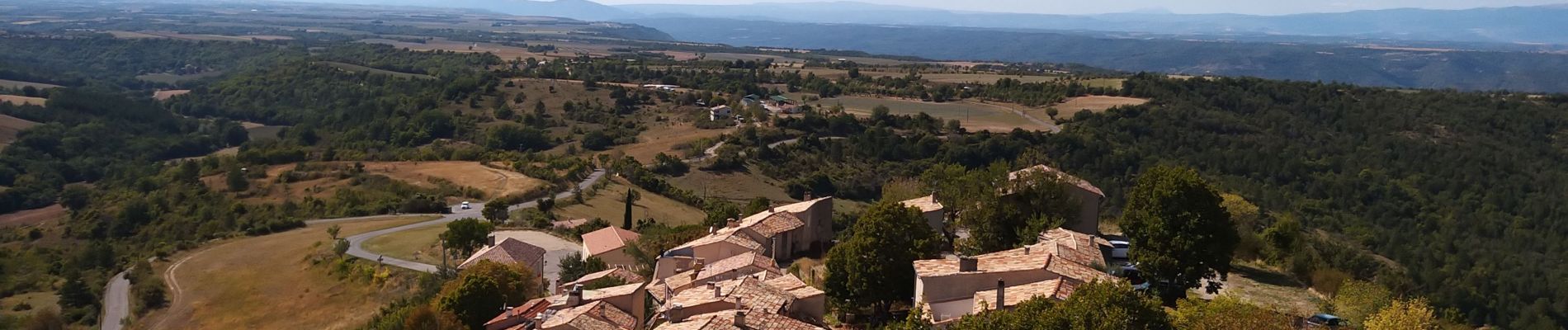
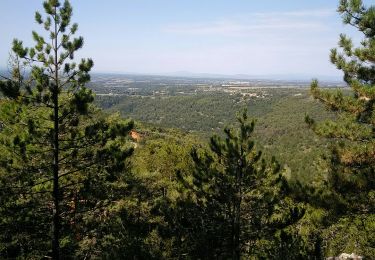
jolie montée en prenant la piste ,très beau point de vue en haut
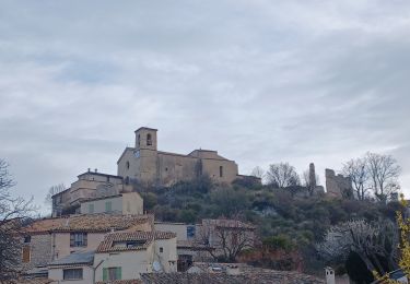
belle ballade vraiment pas difficile en fin de promenade allez prendre un pot au bar resto "au bout du monde" ils sont sympas


Wandern
Wandern
Wandern
Wandern
Wandern
Wandern
Wandern
Mountainbike
Wandern