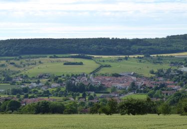
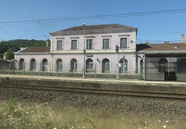
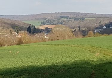
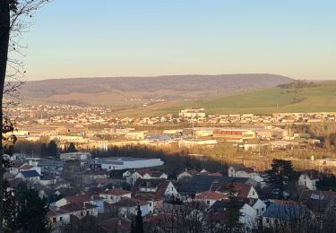
Tour Elektrofahrrad Custines - Custines Jeandelaincourt Ville au val  Morey - Photo

Custines Jeandelaincourt Ville au val Morey

 gmalgrase
gmalgrase

Benutzer

© OpenStreetMap contributors
Länge
Länge
46 km
Maximale Höhe
Maximale Höhe
397 m
Positive Höhendifferenz
570 m
Km-Effort
Km-Effort  
54 km
Min. Höhe
Min. Höhe
180 m
Negative Höhendifferenz
566 m
Boucle
Boucle
Ja
Erstellungsdatum :
2019-09-10 07:40:02.045
Letzte Änderung :
2019-09-10 07:41:54.449

(0 Nachricht)

Elektrofahrrad
Elektrofahrrad
--
Schwierigkeit : Sehr leicht

Scannen Sie diesen QR-Code, um die Tour in der SityTrail-Anwendung zu öffnen

Kostenlosegpshiking-Anwendung

Logo SityTrail SityTrail

IGN / Geografische Institute

SityTrail aus dem App Store herunterladen SityTrail von Google Play herunterladen

Logo SityTrail SityTrail World

Die Welt öffnet sich für Sie

SityTrail aus dem App Store herunterladen SityTrail von Google Play herunterladen SityTrail auf Huawei AppGallery herunterladen

Über SityTrail

Tour Elektrofahrrad von 46 km verfügbar auf Großer Osten, Mörthe und Mosel, Custines. Diese Tour wird von gmalgrase vorgeschlagen.

Höhenprofil

Ort

Land:
France
Region :
Großer Osten
Abteilung/Provinz :
Mörthe und Mosel
Kommune :
Custines
Standort:
Unknown
Gehen Sie:(UTM)
290429 ; 5408192 (32U) N.

Touren in der Umgebung

Tour Mountainbike Millery - Rando VTT Millery-Autreville Tous unis contre le cancer 2024 - Photo
Mountainbike
g.chotel

Mountainbike

Medium
(1)
Millery, Großer Osten, Mörthe und Mosel, France
16 km | 21 km-effort
1h 25min
Ja
Tour Mountainbike Millery - Rando VTT 25km Millery-Autreville Tous unis contre le cancer 2022 - Photo
Mountainbike
g.chotel

Mountainbike

Medium
(1)
Millery, Großer Osten, Mörthe und Mosel, France
24 km | 30 km-effort
2h 5min
Ja
Tour Zu Fuß Lay-Saint-Christophe - Circuit L - Photo
Zu Fuß
GUIDE+

Zu Fuß

Einfach
Lay-Saint-Christophe, Großer Osten, Mörthe und Mosel, France
14,7 km | 18,5 km-effort
4h 11min
Ja
Tour Zu Fuß Marbache - Circuit de la Vierge de Belleville - Photo
Zu Fuß
GUIDE+

Zu Fuß

Einfach
Marbache, Großer Osten, Mörthe und Mosel, France
6 km | 8,5 km-effort
1h 55min
Ja
Tour Zu Fuß Bouxières-aux-Dames - Circuit moyenne ceinture - Photo
Zu Fuß
GUIDE+

Zu Fuß

Einfach
Bouxières-aux-Dames, Großer Osten, Mörthe und Mosel, France
3,8 km | 5,3 km-effort
1h 12min
Ja
Tour Wandern Millery - MILLERY - LA CÔTE DE CREUX - Photo
Wandern
jean-marie.parachini

Wandern

Einfach
(2)
Millery, Großer Osten, Mörthe und Mosel, France
10,5 km | 13,6 km-effort
4h 28min
Ja
Tour Wandern Marbache - MARBACHE - LA TARTE - Photo
Wandern
jean-marie.parachini

Wandern

Sehr leicht
Marbache, Großer Osten, Mörthe und Mosel, France
8,3 km | 10,8 km-effort
3h 15min
Ja
Tour Wandern Frouard - Foret de Haye - Photo
Wandern
webmammuth

Wandern

Sehr leicht
Frouard, Großer Osten, Mörthe und Mosel, France
18 km | 23 km-effort
4h 15min
Ja
Tour Wandern Bouxières-aux-Dames - Bouxiére aux Dames Any et Edith 10kms - Photo
Wandern
any1950

Wandern

Schwierig
Bouxières-aux-Dames, Großer Osten, Mörthe und Mosel, France
9,9 km | 12,1 km-effort
2h 56min
Ja


Schließen
Meine Abonnements