


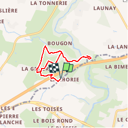

6 km | 6,9 km-effort


Benutzer


Kostenlosegpshiking-Anwendung
 SityTrail
IGN / Geografische Institute
SityTrail World
Die Welt öffnet sich für Sie
Tour Wandern von 6,2 km verfügbar auf Pays de la Loire, Loire-Atlantique, Couffé. Diese Tour wird von popajoel vorgeschlagen.
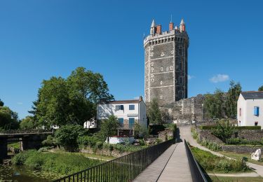
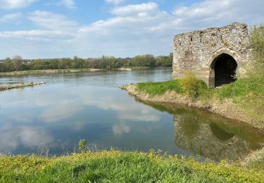
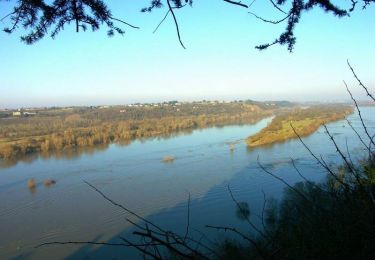
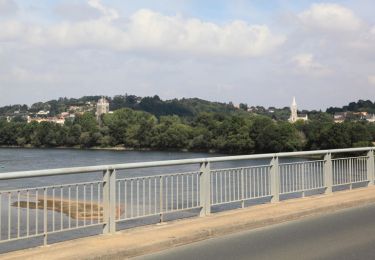
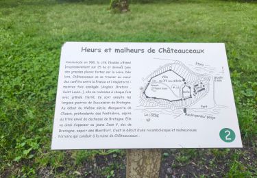
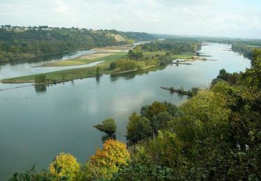
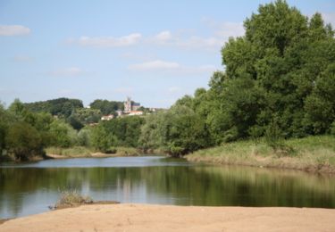
ballade très agréable a faire les jours de grande chaleur, accés très large avec passage sur passerelles au dessus de ruisseau et arrivée au "Havre"qui se deverse dans la loire au petit port d'Oudon.
possibilité de rallonger ce charmant parcours.
Zu Fuß
Wandern
Wandern
Wandern
Wandern
Wandern
Wandern
Mountainbike

Wandern