


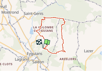

12,1 km | 21 km-effort


Benutzer GUIDE


Kostenlosegpshiking-Anwendung
 SityTrail
IGN / Geografische Institute
SityTrail World
Die Welt öffnet sich für Sie
Tour Zu Fuß von 13,6 km verfügbar auf Provence-Alpes-Côte d'Azur, Hochalpen, Garde-Colombe. Diese Tour wird von RobinMicheline vorgeschlagen.
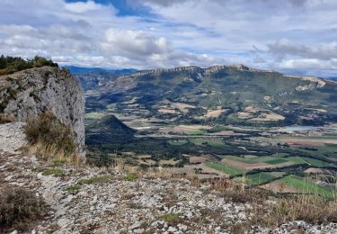
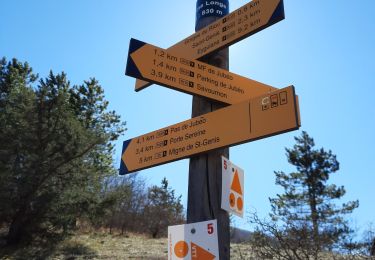
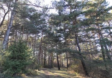
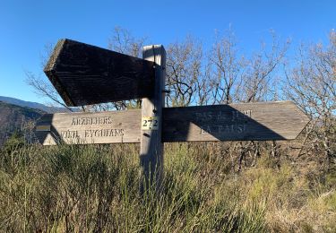
Belle rando , sentiers sympas , un petit peu d escalade , belle vue sur les cretes , sentier glissant descente
Zu Fuß
Wandern

Wandern

Mountainbike
Wandern
Wandern
Wandern

Mountainbike
Wandern