


8 km | 9,2 km-effort


Benutzer


Kostenlosegpshiking-Anwendung
 SityTrail
IGN / Geografische Institute
SityTrail World
Die Welt öffnet sich für Sie
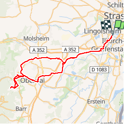
Tour Mountainbike von 66 km verfügbar auf Großer Osten, Unterelsass, Ostwald. Diese Tour wird von 26051010 vorgeschlagen.
Promenade VTT 29 pouces
Ostwald- St- Nabor
Retour par la nouvelle piste
Qui se trouve sur l’ancienne
voie ferrée jusqu’à Rosheim
Après les pistes cyclables
jusqu’à Ostwald.


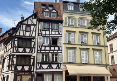
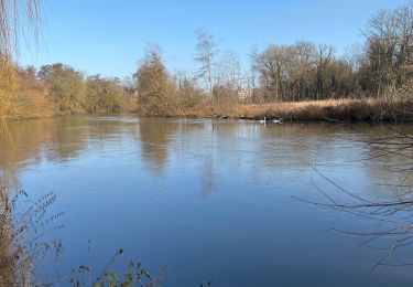
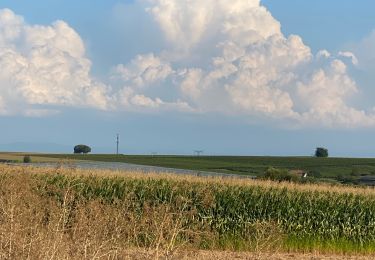
43 Fotos insgesamt. Klicken Sie auf ein Foto, um sie alle in der Galerie zu sehen.

Wandern

Wandern
Wandern


sport

Wandern
Elektrofahrrad

Elektrofahrrad

Mountainbike