


7 km | 8,7 km-effort


Benutzer


Kostenlosegpshiking-Anwendung
 SityTrail
IGN / Geografische Institute
SityTrail World
Die Welt öffnet sich für Sie
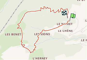
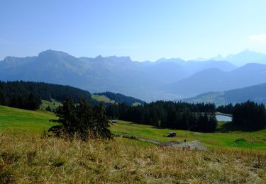
Tour Wandern von 5,9 km verfügbar auf Auvergne-Rhone-Alpen, Hochsavoyen, Cordon. Diese Tour wird von ANDREJAC vorgeschlagen.
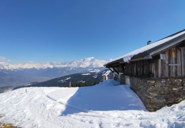
Départ et retour parking Le Peray,
Montée par les Sions, les Bénés.
Passage sous Tête Noire.
Retour par le Voray.
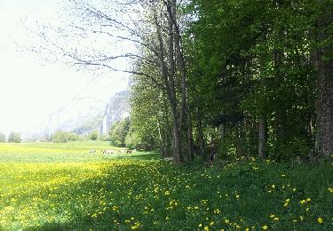
Wandern

Wandern

Schneeschuhwandern
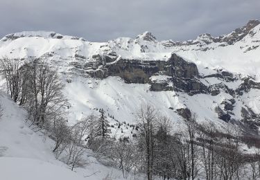
Schneeschuhwandern
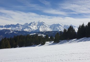
Skiwanderen
Skiwanderen
Zu Fuß
Zu Fuß
Schneeschuhwandern