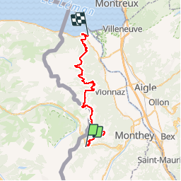

5,7 km | 10,6 km-effort


Benutzer


Kostenlosegpshiking-Anwendung
 SityTrail
IGN / Geografische Institute
SityTrail World
Die Welt öffnet sich für Sie
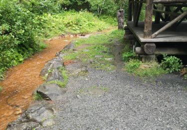
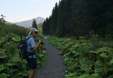
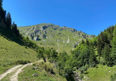
Tour Laufen von 41 km verfügbar auf Wallis, Monthey, Troistorrents. Diese Tour wird von laet vorgeschlagen.
Tracé de du parcours 2019 de la swisspeaks marathon
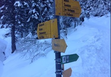
Départ : Morgins
Arrivée : Le Bouveret

Schneeschuhwandern

Schneeschuhwandern
Wandern

Schneeschuhwandern

Wandern
Schneeschuhwandern
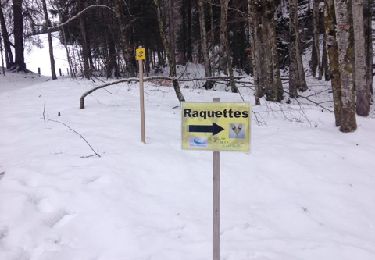
Schneeschuhwandern