


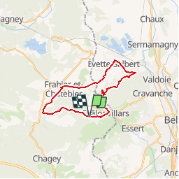

8,1 km | 9 km-effort


Benutzer


Kostenlosegpshiking-Anwendung
 SityTrail
IGN / Geografische Institute
SityTrail World
Die Welt öffnet sich für Sie
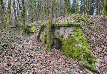
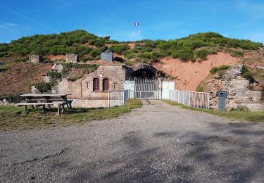
Tour Wandern von 21 km verfügbar auf Burgund und Freigrafschaft, Haute-Saône, Châlonvillars. Diese Tour wird von lebrisgerard vorgeschlagen.
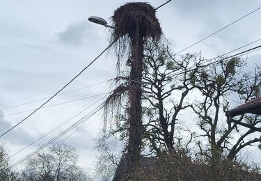
Belle rando sur route, très peu fréquentée par les autos. Très difficile, il faut être entrainé à faire de la distance.
Peut-être fait également en vélo, là, c'est moyen.

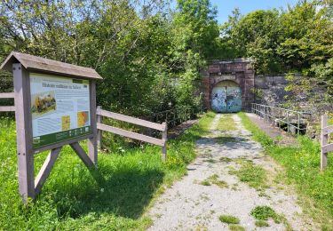
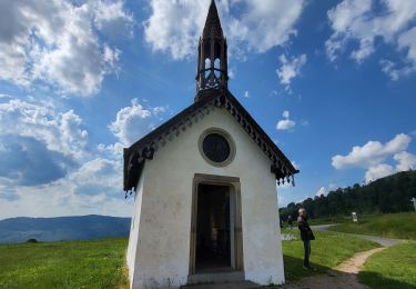
Wandern
Elektrofahrrad
Motorrad
Elektrofahrrad
Wandern
Wandern
Mountainbike
Mountainbike
Wandern