


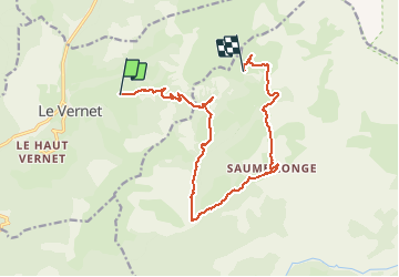

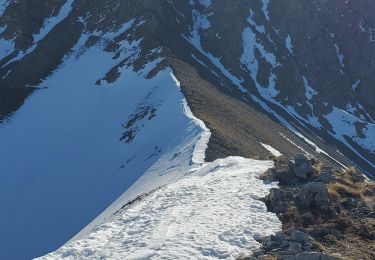
15,3 km | 24 km-effort


Benutzer


Kostenlosegpshiking-Anwendung
 SityTrail
IGN / Geografische Institute
SityTrail World
Die Welt öffnet sich für Sie
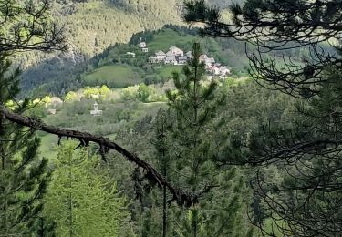
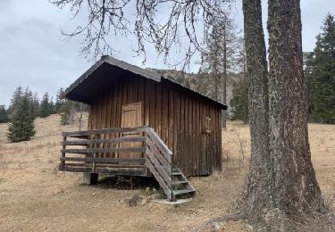
Tour Wandern von 15,8 km verfügbar auf Provence-Alpes-Côte d'Azur, Alpes-de-Haute-Provence, Le Vernet. Diese Tour wird von RobinMicheline vorgeschlagen.
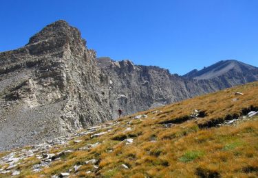
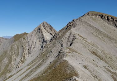
pie fourche vivre saumonée la immergée refuge Val pouvant 15 kms 900 me dénivelé 480 me descente 5 h marche bien à refaire


Wandern
Wandern
Wandern
Wandern
Wandern
Wandern
Wandern
Zu Fuß

Zu Fuß