


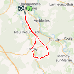

31 km | 36 km-effort


Benutzer


Kostenlosegpshiking-Anwendung
 SityTrail
IGN / Geografische Institute
SityTrail World
Die Welt öffnet sich für Sie
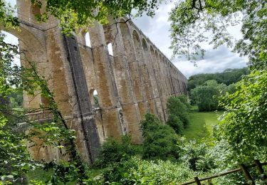
Tour Mountainbike von 20 km verfügbar auf Großer Osten, Haute-Marne, Chaumont. Diese Tour wird von delestrai vorgeschlagen.
Circuit permettant de quitter et de revenir sur la ville de Chaumont avec un dénivelé doux et progressif.
Wandern
Wandern

Wandern

Mountainbike
Wandern

Nordic Walking
Wandern
Mountainbike
Nordic Walking