


7,3 km | 10,1 km-effort


Benutzer


Kostenlosegpshiking-Anwendung
 SityTrail
IGN / Geografische Institute
SityTrail World
Die Welt öffnet sich für Sie
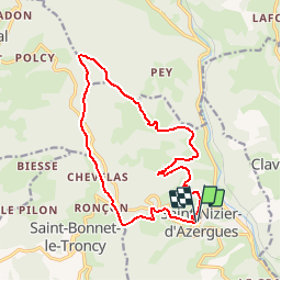
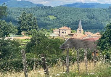
Tour Wandern von 15,5 km verfügbar auf Auvergne-Rhone-Alpen, Rhône, Saint-Nizier-d'Azergues. Diese Tour wird von Thomasdanielle vorgeschlagen.
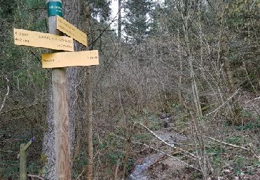
D/A : Parking le Bourg (Rando prévue le 13/08/19) DB
Au lavoir prendre à droite rejoindre :
- Gauttelafay
- Château de la porte
- Croix d'Orval
- Croix de la moule
- Haut de Favardy
- Col de Favardy
- Chevelas
- Plats des Mollards (Croix serment)
- Le Bourg et Parking
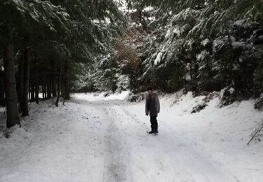
Wandern
Wandern
Wandern
Wandern
Wandern
Wandern
Wandern
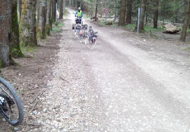
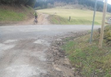
Mountainbike
Mountainbike