


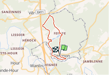

9,5 km | 11,3 km-effort

Benutzer GUIDE


Kostenlosegpshiking-Anwendung
 SityTrail
IGN / Geografische Institute
SityTrail World
Die Welt öffnet sich für Sie
Tour Wandern von 10,8 km verfügbar auf Wallonien, Namur, Houyet. Diese Tour wird von Desrumaux vorgeschlagen.
Jolie balade en forêt au départ du village de Ciergnon dans l'entité de Houyet en vallée de Lesse jusqu'au hameau de Fenffe.


Wandern
Wandern
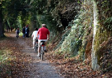
Wandern
Wandern
Mountainbike
Fahrrad

Wandern
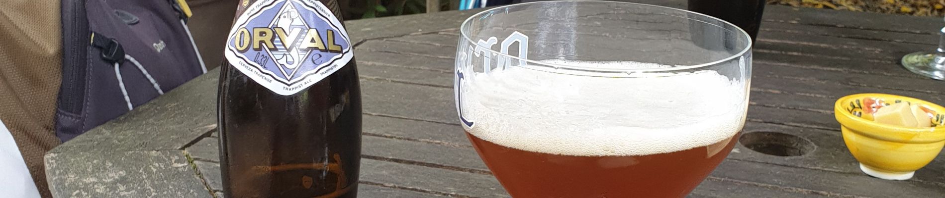
Santé !
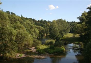
très chouette balade