


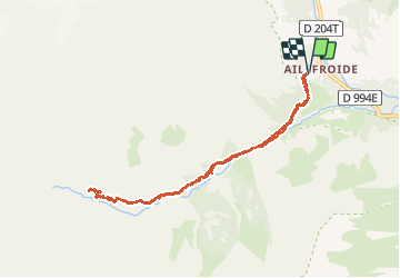


14,5 km | 28 km-effort

Benutzer


Kostenlosegpshiking-Anwendung
 SityTrail
IGN / Geografische Institute
SityTrail World
Die Welt öffnet sich für Sie
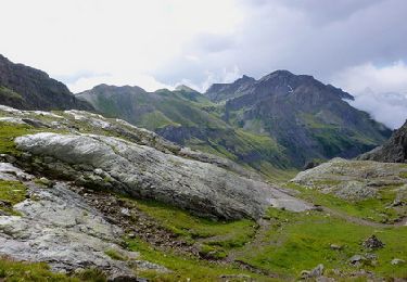
Tour Wandern von 9 km verfügbar auf Provence-Alpes-Côte d'Azur, Hochalpen, Vallouise-Pelvoux. Diese Tour wird von Sigmut vorgeschlagen.
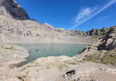
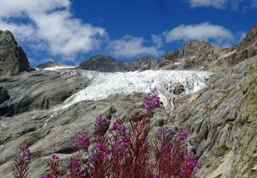
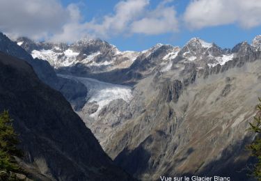
Rando coup de cœur avec rencontre de Chamois.
Randonnée avec des enfants (2 ans dans sac à dos et 4 ans).


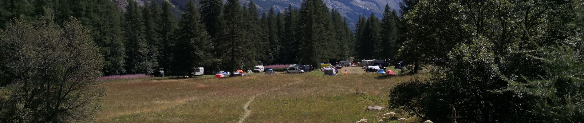
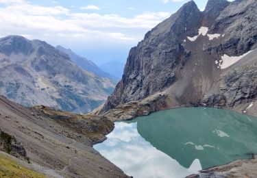
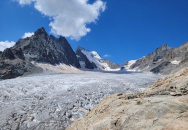
23 Fotos insgesamt. Klicken Sie auf ein Foto, um sie alle in der Galerie zu sehen.
Wandern

Wandern
Wandern
Wandern
Zu Fuß
Zu Fuß
Wandern
Wandern
Wandern