


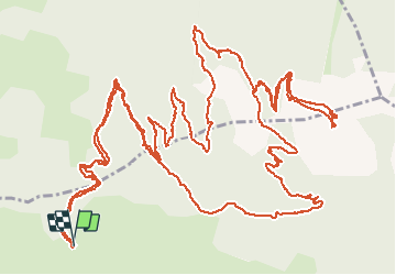

7,4 km | 16,7 km-effort

Benutzer


Kostenlosegpshiking-Anwendung
 SityTrail
IGN / Geografische Institute
SityTrail World
Die Welt öffnet sich für Sie
Tour Wandern von 13 km verfügbar auf Provence-Alpes-Côte d'Azur, Hochalpen, Les Orres. Diese Tour wird von guariso vorgeschlagen.
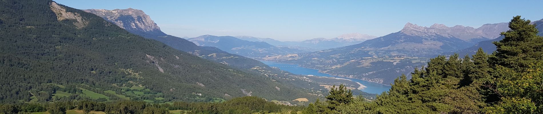
rando très belle, on peut se garer plus haut sur le parking (voir photo). début sur chemin forestier puis petit chemin qui monte doucement tout le temps.
un régal pour les paysages.


Andere Aktivitäten

Wandern

Wandern

Wandern

Mountainbike

Wandern

Wandern

Wandern

Wandern