


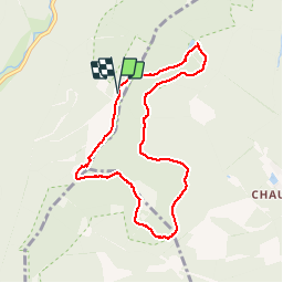

14,6 km | 23 km-effort

Benutzer GUIDE


Kostenlosegpshiking-Anwendung
 SityTrail
IGN / Geografische Institute
SityTrail World
Die Welt öffnet sich für Sie
Tour Wandern von 7,8 km verfügbar auf Burgund und Freigrafschaft, Haute-Saône, Plancher-les-Mines. Diese Tour wird von holtzv vorgeschlagen.
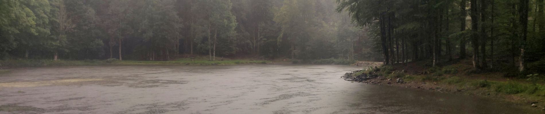
Journée pluvieuse sans vue.
- Etang des Belles Filles
- Prairie le Querty
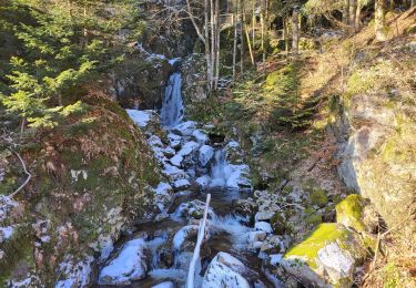
- La Roche Fendue
- Planche des Belles Filles


Wandern

Wandern

Wandern

Wandern

Wandern

Wandern

Wandern

Wandern
Wandern