


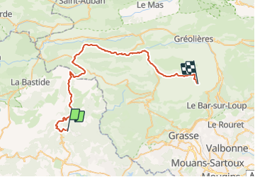

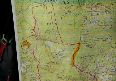
16,2 km | 25 km-effort


Benutzer


Kostenlosegpshiking-Anwendung
 SityTrail
IGN / Geografische Institute
SityTrail World
Die Welt öffnet sich für Sie
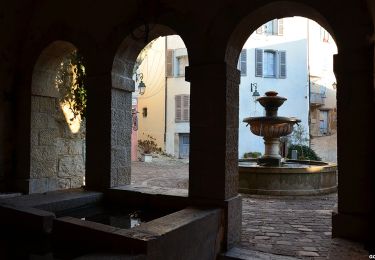
Tour Fahrrad von 51 km verfügbar auf Provence-Alpes-Côte d'Azur, Var, Mons. Diese Tour wird von pascalspr vorgeschlagen.
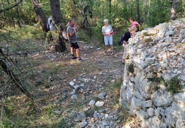
Retour en voiture et repas à l'auberge au carrefour Cuisine familiale très bien
cherche coéquipier pour rando 0674087501
Wandern
Wandern
Mountainbike
Wandern
Wandern
Wandern
Wandern
Wandern
Wandern