


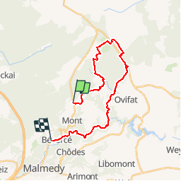


16,7 km | 22 km-effort

Benutzer


Kostenlosegpshiking-Anwendung
 SityTrail
IGN / Geografische Institute
SityTrail World
Die Welt öffnet sich für Sie
Tour Wandern von 22 km verfügbar auf Wallonien, Lüttich, Malmedy. Diese Tour wird von animationmdy vorgeschlagen.
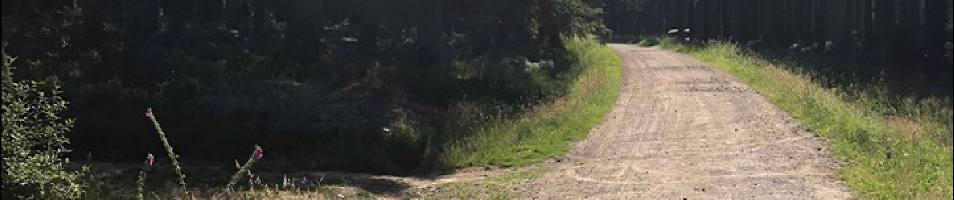
Depuis l'auberge de la Fagne, direction Longfaye et sa rivière (le Bayehon), remontée jusqu'au Signal de Botrange (par le Neur Lowé), passage par la brasserie Peak et descente par les vallées du Ghaster, Bayehon et la Warche.
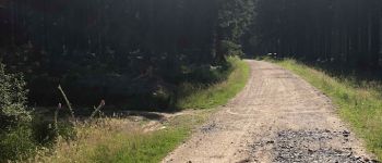
 - Photo 1")
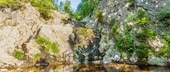
 - Photo 2")
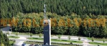
 - Photo 3")
 - Photo 4")

Wandern

Wandern

Wandern


Wandern

Wandern
Wandern
Wandern

Wandern