


61 km | 77 km-effort

Benutzer


Kostenlosegpshiking-Anwendung
 SityTrail
IGN / Geografische Institute
SityTrail World
Die Welt öffnet sich für Sie
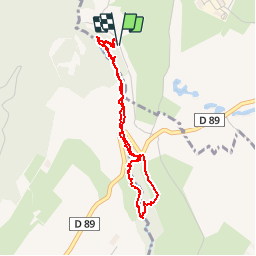
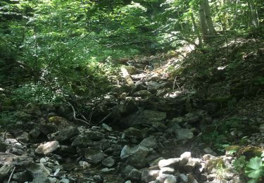
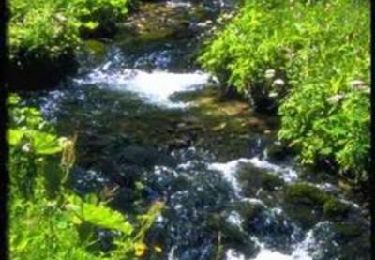
Tour Wandern von 3,5 km verfügbar auf Auvergne-Rhone-Alpen, Ain, Échenevex. Diese Tour wird von tracegps vorgeschlagen.
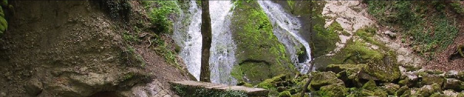
Superbe balade le long de la source de l'Allondon. Une fois arrivé au pont le chemin n'est plus entretenu, donc s'est plus technique mais la rivière sert de repère. Départ de la rue « Chemin de la source ».


Fahrrad
Fahrrad
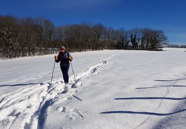
Langlaufen
Wandern
Mountainbike

Wandern

Wandern
Wandern
Wandern