


8,8 km | 12,9 km-effort

Benutzer


Kostenlosegpshiking-Anwendung
 SityTrail
IGN / Geografische Institute
SityTrail World
Die Welt öffnet sich für Sie
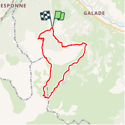
Tour Wandern von 13,6 km verfügbar auf Okzitanien, Hautes-Pyrénées, Campan. Diese Tour wird von tracegps vorgeschlagen.
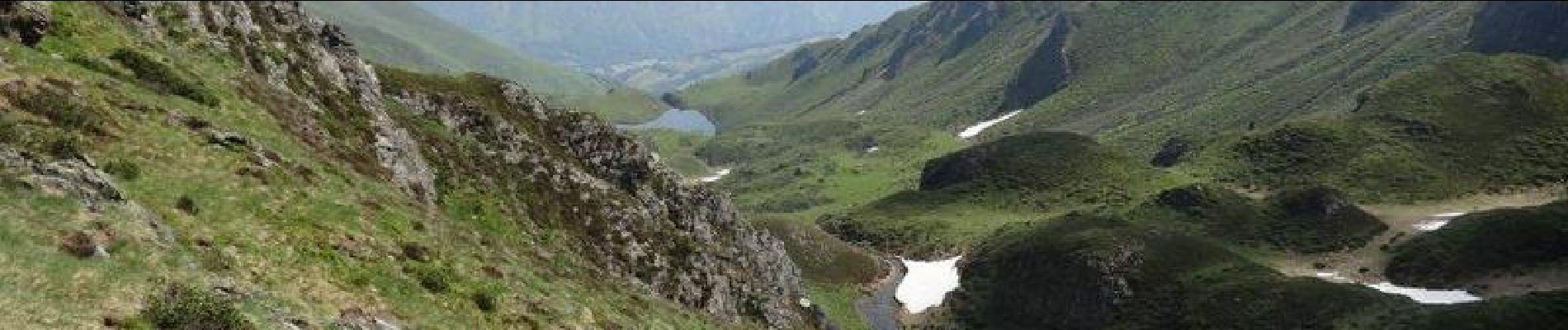
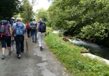
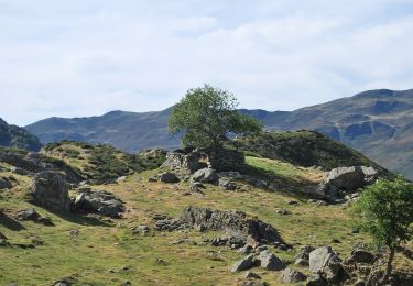
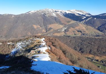
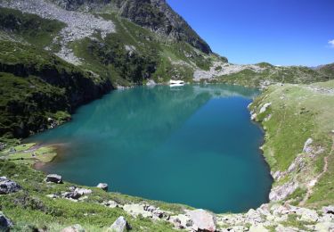
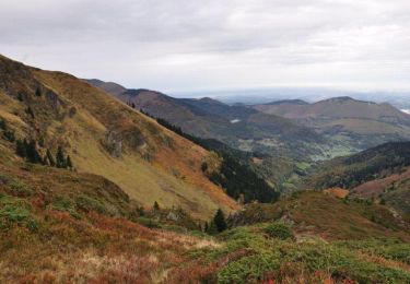
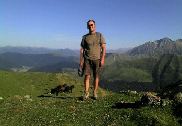
Départ depuis le col de la Courade au-dessus de Campan. On passe par le Liset de Hount Blanque, puis le Cap d'Aygue Rouye avant de redescendre sur le lac de l'Œuf au pied du Pic du Midi de Bigorre et du Pêne Nère. Retour par le lac d'Aygue Rouye, la croix de Peyras et le Bois de Niclade. Superbes paysages sur la chaîne et la plaine.


Wandern

Rennrad
Zu Fuß
Wandern
Wandern
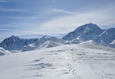
Schneeschuhwandern

Wandern
Wandern
Wandern