


11,5 km | 13,4 km-effort

Benutzer


Kostenlosegpshiking-Anwendung
 SityTrail
IGN / Geografische Institute
SityTrail World
Die Welt öffnet sich für Sie
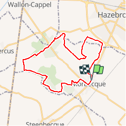
Tour Wandern von 14,6 km verfügbar auf Nordfrankreich, Nord, Morbecque. Diese Tour wird von tracegps vorgeschlagen.
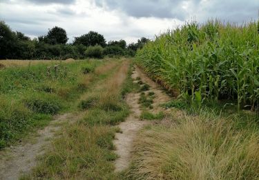
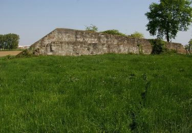
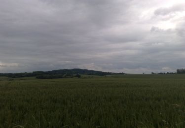
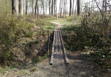
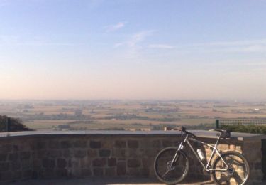
Départ du parking de l'hotel de ville de Morbecque. Ce circuit s’adresse au promeneur confirmé. Le circuit, de longueur moyenne, est en effet vallonné et traverse des bois humides d’accès difficile. L’effort est récompensé par la variété des paysages traversés et le caractère flamand marqué du patrimoine et de l’habitat. Attention, pendant la période de chasse, l’accès au Bois des Huit Rues peut être interdit. Renseignez-vous auprès de la mairie ou de l’Office National des Forêts Retrouvez la fiche n°7 de la pochette « La Lys dans la vallée entre monts et merveilles sur le site du comité départemental du Tourisme du Nord.
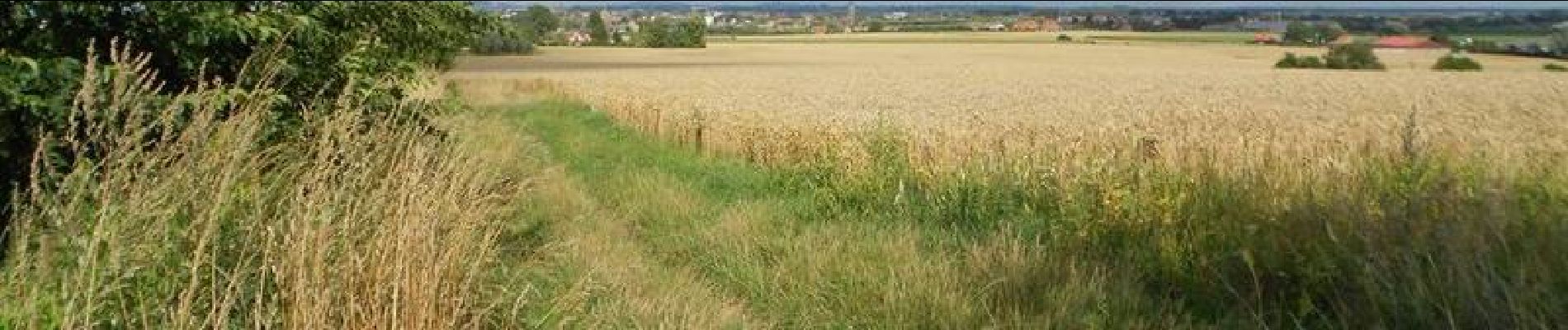
 - Morbecque - Photo 1")
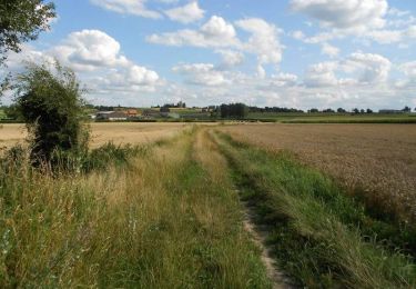
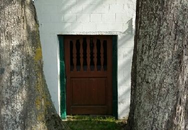
 - Morbecque - Photo 2")
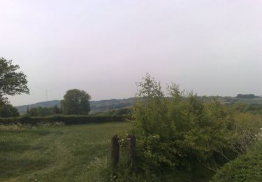
 - Morbecque - Photo 3")
 - Morbecque - Photo 4")
 - Morbecque - Photo 5")
Wandern
Mountainbike
Pfad

Fahrrad
Mountainbike
Mountainbike
Mountainbike
Mountainbike
Wandern