![](/images/other/stat-length.png)
![Tour Mountainbike Pont-Noyelles - Le passage aux loups - Pont-Noyelles - Photo](https://media.geolcdn.com/t/1900/400/ext.pjpeg?maxdim=2&url=https%3A%2F%2Fservices.sitytrail.com%2FGeolivesWS%2FDownloadMedia.ashx%3FTrailID%3D215211%26Media%3D15824_5.jpg)
Le passage aux loups - Pont-Noyelles
tracegps
Benutzer
![Länge](/images/other/stat-length.png)
Länge
13,8 km
![Maximale Höhe](https://static1.geolcdn.com/siteimages/upload/files/1508320355ic_sort_altitude_max_24dp.png)
Maximale Höhe
96 m
![Positive Höhendifferenz](https://static1.geolcdn.com/siteimages/upload/files/1508320355ic_sort_den_pos_24dp.png)
Positive Höhendifferenz
143 m
![Km-Effort](/images/other/stat-length.png)
Km-Effort
15,7 km
![Min. Höhe](https://static1.geolcdn.com/siteimages/upload/files/1508320355ic_sort_altitude_min_24dp.png)
Min. Höhe
25 m
![Negative Höhendifferenz](https://static1.geolcdn.com/siteimages/upload/files/1508320355ic_sort_den_neg_24dp.png)
Negative Höhendifferenz
143 m
![Boucle](https://static1.geolcdn.com/siteimages/upload/files/16400158638029165_repeat_loop_refresh_sync_direction_icon.png)
Boucle
Ja
Erstellungsdatum :
2014-12-10 00:00:00.0
Letzte Änderung :
2014-12-10 00:00:00.0
![Mountainbike](https://static1.geolcdn.com/sitytour/trail-icons/202.png)
1h15
Schwierigkeit : Medium
![Scannen Sie diesen QR-Code, um die Tour in der SityTrail-Anwendung zu öffnen](https://capi.geolives.com/qq0zvz2zws4bq2lad0pu/sitytour/trails/215211/qr.png?size=200)
Kostenlosegpshiking-Anwendung
Über SityTrail
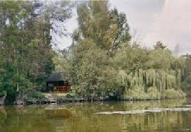
Tour Mountainbike von 13,8 km verfügbar auf Nordfrankreich, Somme, Pont-Noyelles. Diese Tour wird von tracegps vorgeschlagen.
Beschreibung
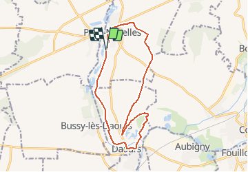
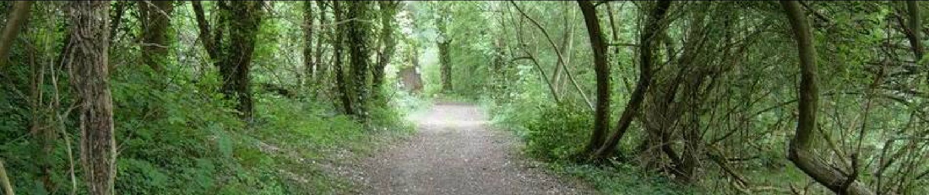
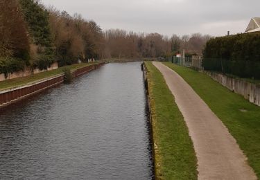
Entre points de vue d’exception, monuments historiques et sites naturels tous vos sens seront mis en éveil lors de cette balade. Départ de la route du camping de Pont-Noyelles. Téléchargez la fiche du circuit.
Ort
Land:
France
Region :
Nordfrankreich
Abteilung/Provinz :
Somme
Kommune :
Pont-Noyelles
Standort:
Unknown
Gehen Sie:(Dec)
Gehen Sie:(UTM)
459660 ; 5531451 (31U) N.
Kommentare
Touren in der Umgebung
![Tour Wandern Corbie - Les rives de Somme de Corbie à Amiens - Photo](https://media.geolcdn.com/t/375/260/b950c723-196c-4705-b4c8-c7caaabdf39d.jpg&format=jpg&maxdim=2)
![Wandern Wandern](https://static1.geolcdn.com/sitytour/trail-icons/101.png)
Les rives de Somme de Corbie à Amiens
Wandern
Medium
Corbie,
Nordfrankreich,
Somme,
France
![](/images/other/stat-length.png)
21 km | 22 km-effort
4h 31min
![](https://static1.geolcdn.com/siteimages/upload/files/16400158638029165_repeat_loop_refresh_sync_direction_icon.png)
Nein
![Tour Zu Fuß Daours - Le Passage aux Loups - Photo](https://media.geolcdn.com/t/375/260/c0a6c8f5-02d2-4dbd-8744-0550644a54a7.jpeg&format=jpg&maxdim=2)
![Zu Fuß Zu Fuß](https://static1.geolcdn.com/sitytour/trail-icons/100.png)
Le Passage aux Loups
Zu Fuß
Einfach
Daours,
Nordfrankreich,
Somme,
France
![](/images/other/stat-length.png)
13,9 km | 15,9 km-effort
3h 36min
![](https://static1.geolcdn.com/siteimages/upload/files/16400158638029165_repeat_loop_refresh_sync_direction_icon.png)
Ja
![Tour Quad Fouilloy - 30 juil. 2019 14:04:21 - Photo](https://media.geolcdn.com/t/375/260/2fe84f10-c8aa-4a4e-9c7d-13d62879c110.jpg&format=jpg&maxdim=2)
![Quad Quad](https://static1.geolcdn.com/sitytour/trail-icons/404.png)
30 juil. 2019 14:04:21
Quad
Medium
(1)
Fouilloy,
Nordfrankreich,
Somme,
France
![](/images/other/stat-length.png)
103 km | 122 km-effort
Unbekannt
![](https://static1.geolcdn.com/siteimages/upload/files/16400158638029165_repeat_loop_refresh_sync_direction_icon.png)
Nein
![Tour Wandern Pont-Noyelles - Le passage aux loups - Pont-Noyelles - Photo](https://media.geolcdn.com/t/375/260/ext.jpg?maxdim=2&url=https%3A%2F%2Fservices.sitytrail.com%2FGeolivesWS%2FDownloadMedia.ashx%3FTrailID%3D215210%26Media%3D15824_5.jpg)
![Wandern Wandern](https://static1.geolcdn.com/sitytour/trail-icons/101.png)
Le passage aux loups - Pont-Noyelles
Wandern
Schwierig
(1)
Pont-Noyelles,
Nordfrankreich,
Somme,
France
![](/images/other/stat-length.png)
13,8 km | 15,7 km-effort
4h 40min
![](https://static1.geolcdn.com/siteimages/upload/files/16400158638029165_repeat_loop_refresh_sync_direction_icon.png)
Ja
![Tour Quad Fouilloy - 2022-05-08_16h40m10_SityTrail - 2795546 - rando-fouilloy - Photo](https://media.geolcdn.com/t/375/260/ext.jpg?maxdim=2&url=https%3A%2F%2Fstatic1.geolcdn.com%2Fsiteimages%2Fupload%2Ffiles%2F15247431544x4.jpg)
![Quad Quad](https://static1.geolcdn.com/sitytour/trail-icons/404.png)
2022-05-08_16h40m10_SityTrail - 2795546 - rando-fouilloy
Quad
Einfach
Fouilloy,
Nordfrankreich,
Somme,
France
![](/images/other/stat-length.png)
73 km | 84 km-effort
Unbekannt
![](https://static1.geolcdn.com/siteimages/upload/files/16400158638029165_repeat_loop_refresh_sync_direction_icon.png)
Nein
![Tour Mountainbike Pont-Noyelles - Le passage aux loups - Pont-Noyelles - Photo](https://media.geolcdn.com/t/375/260/ext.jpg?maxdim=2&url=https%3A%2F%2Fstatic1.geolcdn.com%2Fsiteimages%2Fupload%2Ffiles%2F1524743154velo.jpg)
![Mountainbike Mountainbike](https://static1.geolcdn.com/sitytour/trail-icons/202.png)
Le passage aux loups - Pont-Noyelles
Mountainbike
Medium
Pont-Noyelles,
Nordfrankreich,
Somme,
France
![](/images/other/stat-length.png)
13,8 km | 15,8 km-effort
1h 15min
![](https://static1.geolcdn.com/siteimages/upload/files/16400158638029165_repeat_loop_refresh_sync_direction_icon.png)
Ja
![Tour Wandern Béhencourt - Le circuit des monts - Photo](https://media.geolcdn.com/t/375/260/ext.jpg?maxdim=2&url=https%3A%2F%2Fstatic1.geolcdn.com%2Fsiteimages%2Fupload%2Ffiles%2F1553511878bg_sport_marche.png)
![Wandern Wandern](https://static1.geolcdn.com/sitytour/trail-icons/101.png)
Le circuit des monts
Wandern
Medium
Béhencourt,
Nordfrankreich,
Somme,
France
![](/images/other/stat-length.png)
16,4 km | 18,6 km-effort
Unbekannt
![](https://static1.geolcdn.com/siteimages/upload/files/16400158638029165_repeat_loop_refresh_sync_direction_icon.png)
Ja
![Tour Wandern Fréchencourt - frechencourt - Photo](https://media.geolcdn.com/t/375/260/ext.jpg?maxdim=2&url=https%3A%2F%2Fstatic1.geolcdn.com%2Fsiteimages%2Fupload%2Ffiles%2F1553511878bg_sport_marche.png)
![Wandern Wandern](https://static1.geolcdn.com/sitytour/trail-icons/101.png)
frechencourt
Wandern
Medium
Fréchencourt,
Nordfrankreich,
Somme,
France
![](/images/other/stat-length.png)
20 km | 24 km-effort
4h 5min
![](https://static1.geolcdn.com/siteimages/upload/files/16400158638029165_repeat_loop_refresh_sync_direction_icon.png)
Ja
![Tour Reiten Pont-Noyelles - Jour 1 equirando - Photo](https://media.geolcdn.com/t/375/260/ext.jpg?maxdim=2&url=https%3A%2F%2Fstatic1.geolcdn.com%2Fsiteimages%2Fupload%2Ffiles%2F1524743154cheval.jpg)
![Reiten Reiten](https://static1.geolcdn.com/sitytour/trail-icons/301.png)
Jour 1 equirando
Reiten
Medium
Pont-Noyelles,
Nordfrankreich,
Somme,
France
![](/images/other/stat-length.png)
26 km | 29 km-effort
5h 29min
![](https://static1.geolcdn.com/siteimages/upload/files/16400158638029165_repeat_loop_refresh_sync_direction_icon.png)
Nein