


4,9 km | 6,3 km-effort

Benutzer


Kostenlosegpshiking-Anwendung
 SityTrail
IGN / Geografische Institute
SityTrail World
Die Welt öffnet sich für Sie
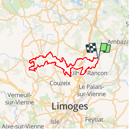
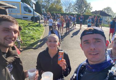
Tour Mountainbike von 60 km verfügbar auf Neu-Aquitanien, Haute-Vienne, Rilhac-Rancon. Diese Tour wird von tracegps vorgeschlagen.
Au départ du parking du restaurant "La Chanterelle", à Cassepierre. Boucle de 60km en allant à Nieul. Le parcours est roulant avec quelques singles et un petit quart du trajet est en goudron. Après une pause à Chaptelat, le point d'orgue est une pause dans le parc du château de Nieul avec son étang. Il abrite la bibliothèque municipale, vous pouvez entrer, le lieu est magnifique. La tranquillité et les points de vue de la campagne limousine sont un pur bonheur.

Zu Fuß
Wandern
Nordic Walking
Wandern


sport
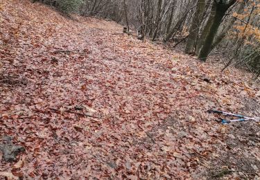
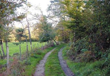
Pfad

Wandern
Wandern

Pfad