


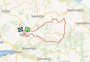


18,3 km | 25 km-effort

Benutzer


Kostenlosegpshiking-Anwendung
 SityTrail
IGN / Geografische Institute
SityTrail World
Die Welt öffnet sich für Sie
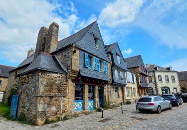
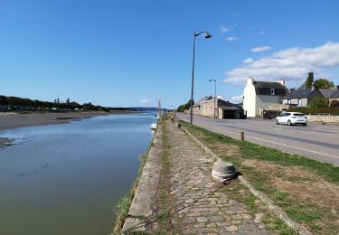
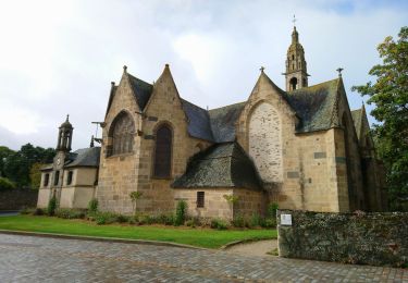
Tour Wandern von 26 km verfügbar auf Bretagne, Finistère, Hanvec. Diese Tour wird von tracegps vorgeschlagen.
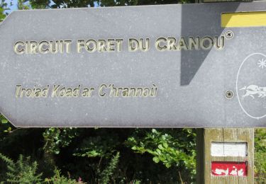
Randonnée Cranou Monts D'Arrée Topo guide FFR "Parc Régional d'Armorique" Longue rando de 26 Km passant par la forêt du Cranou, le Menez Meur, les crêtes....


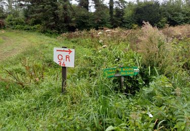
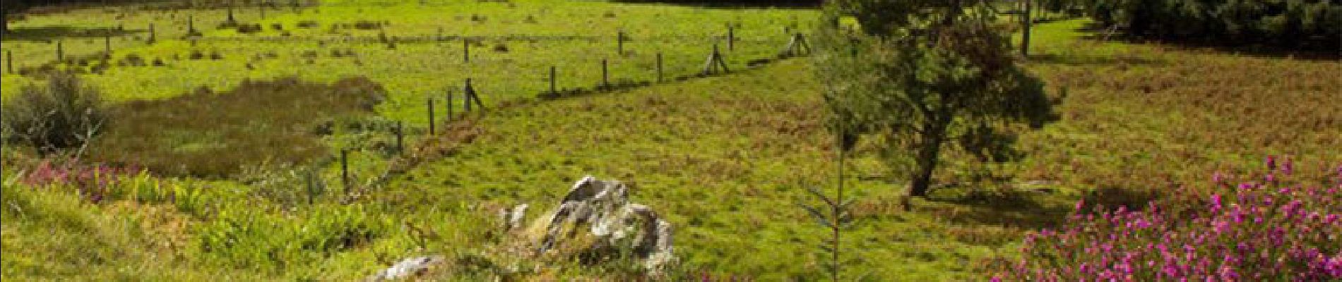
Wandern
Zu Fuß
Wandern
Wandern
Wandern
Wandern
Wandern
Wandern
Wandern