


11,4 km | 14,5 km-effort

Benutzer


Kostenlosegpshiking-Anwendung
 SityTrail
IGN / Geografische Institute
SityTrail World
Die Welt öffnet sich für Sie
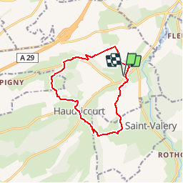
Tour Pferd von 11 km verfügbar auf Normandie, Seine-Maritime, Haudricourt. Diese Tour wird von tracegps vorgeschlagen.
Circuit proposé par l'Office de Tourisme d'Aumale. Départ de la chapelle de Villers ou de l'église d'Haudricourt. De la chapelle de Villers, descendre et traverser la D9 et continuer en face vers la ferme de la Minette. On poursuit le chemin jusqu'à Hardonseille où l'on part sur la droite vers le bois de la Vergne. Descendre vers St Ouen, puis sur la droite vers Haudricourt. Passer sur le coté Ouest de l'église et monter jusqu'à Le Ménivier, longer ensuite le bois de Fontaine pour ensuite descendre vers Roupied. A la D 282 prendre à droite vers le bois de la mare du Bois. Le chemin grimpe à travers le bois et une fois arrivée à la ferme du Bois, partir sur la droite pour rejoindre a travers la plaine de la couture une chapelle. A celle-ci, prendre à droite le sentier qui après 500m, descend vers Villers.
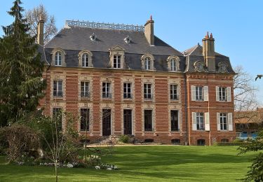
 - Haudricourt - Photo 1")
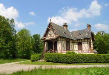
 - Haudricourt - Photo 2")
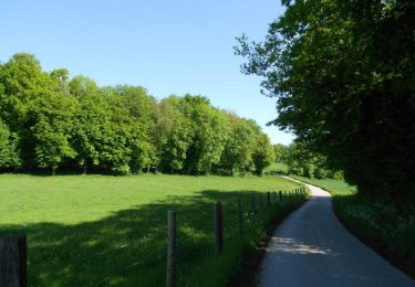
 - Haudricourt - Photo 3")
 - Haudricourt - Photo 4")
 - Haudricourt - Photo 5")
Zu Fuß
Zu Fuß
Zu Fuß
Pferd

Mountainbike

Wandern
Mountainbike

Wandern
Pferd