![](/images/other/stat-length.png)
![Tour Wandern Neaux - La route Napoléon et la Vallée du Gand à VTT - Neaux - Photo](https://media.geolcdn.com/t/1900/400/ext.pjpeg?maxdim=2&url=https%3A%2F%2Fservices.sitytrail.com%2FGeolivesWS%2FDownloadMedia.ashx%3FTrailID%3D215067%26Media%3D15641_6.jpg)
La route Napoléon et la Vallée du Gand à VTT - Neaux
tracegps
Benutzer
![Länge](/images/other/stat-length.png)
![Maximale Höhe](https://static1.geolcdn.com/siteimages/upload/files/1508320355ic_sort_altitude_max_24dp.png)
![Positive Höhendifferenz](https://static1.geolcdn.com/siteimages/upload/files/1508320355ic_sort_den_pos_24dp.png)
![Km-Effort](/images/other/stat-length.png)
![Min. Höhe](https://static1.geolcdn.com/siteimages/upload/files/1508320355ic_sort_altitude_min_24dp.png)
![Negative Höhendifferenz](https://static1.geolcdn.com/siteimages/upload/files/1508320355ic_sort_den_neg_24dp.png)
![Boucle](https://static1.geolcdn.com/siteimages/upload/files/16400158638029165_repeat_loop_refresh_sync_direction_icon.png)
![Wandern](https://static1.geolcdn.com/sitytour/trail-icons/101.png)
3h00
Schwierigkeit : Medium
![Scannen Sie diesen QR-Code, um die Tour in der SityTrail-Anwendung zu öffnen](https://capi.geolives.com/qq0zvz2zws4bq2lad0pu/sitytour/trails/215067/qr.png?size=200)
Kostenlosegpshiking-Anwendung
Über SityTrail
Tour Wandern von 11,7 km verfügbar auf Auvergne-Rhone-Alpen, Loire, Neaux. Diese Tour wird von tracegps vorgeschlagen.
Beschreibung
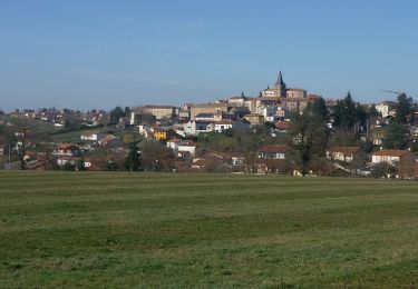
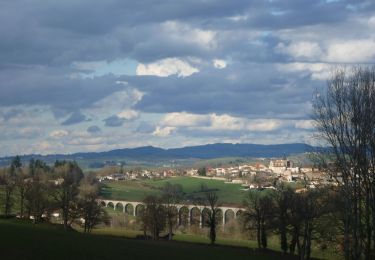
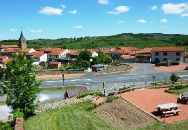
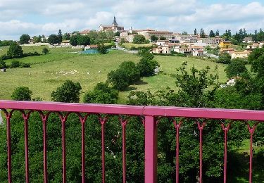
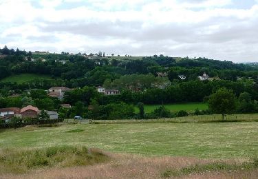
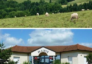
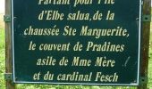
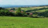
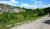
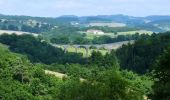
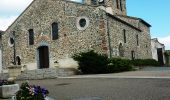
Départ du parking de la Mairie. Ce circuit qui est relativement facile commence par rejoindre le RN7 qu’on longe sur la petite sente sur la droite, puis c’est par une descente par la route Napoléon, route Royale avec de nombreux panneaux qui expliquent le parcours de l’Empereur que l’on rejoint L’Hôpital-sur-Rhins. Après le rond point (RN 7 et RN 82) on remonte tout doucement au bord de la rivière du Gand sur une belle piste au creux du vallon jusqu’à la carrière de Neaux. Puis on grimpe au dessus de la carrière et après les Roches il faut rester vigilant pour traverser la RN7 car la circulation est souvent dense. Après on descend vers l’étang (après le plan d’eau, regarder sur la droite pour apercevoir le viaduc de l’Ecoron) puis on continue l’ascension jusqu’à l’église du village pour enfin rejoindre le point de départ devant la mairie. Quelques passages aériens sur les crêtes offrent de somptueux panoramas sur le Roannais, les Monts de la Madeleine et du Beaujolais. Topoguide : Guide des Randonnées du Pays entre Loire et Rhône (Copler), 32 circuits balisés.
Ort
Kommentare
Touren in der Umgebung
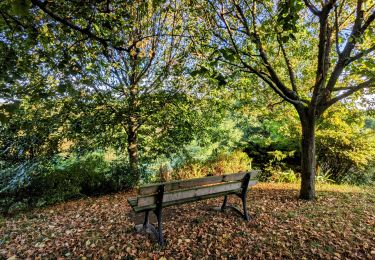
![Tour Wandern Notre-Dame-de-Boisset - etang d'arcon-10 km - Photo](https://media.geolcdn.com/t/375/260/d0c0370c-bd7e-43b3-ab37-2c9497c641b2.jpg&format=jpg&maxdim=2)
![Wandern Wandern](https://static1.geolcdn.com/sitytour/trail-icons/101.png)
Wandern
![](/images/other/stat-length.png)
![](https://static1.geolcdn.com/siteimages/upload/files/16400158638029165_repeat_loop_refresh_sync_direction_icon.png)
![Tour Wandern Saint-Symphorien-de-Lay - etang st symphorien de lay - Photo](https://media.geolcdn.com/t/375/260/ext.jpg?maxdim=2&url=https%3A%2F%2Fstatic1.geolcdn.com%2Fsiteimages%2Fupload%2Ffiles%2F1553511878bg_sport_marche.png)
![Wandern Wandern](https://static1.geolcdn.com/sitytour/trail-icons/101.png)
Wandern
![](/images/other/stat-length.png)
![](https://static1.geolcdn.com/siteimages/upload/files/16400158638029165_repeat_loop_refresh_sync_direction_icon.png)
![Tour Wandern Saint-Symphorien-de-Lay - St Symphorien de lay, agri rando - Photo](https://media.geolcdn.com/t/375/260/ad65c851-00cb-4ac7-9236-117ab0c718e4.jpg&format=jpg&maxdim=2)
![Wandern Wandern](https://static1.geolcdn.com/sitytour/trail-icons/101.png)
Wandern
![](/images/other/stat-length.png)
![](https://static1.geolcdn.com/siteimages/upload/files/16400158638029165_repeat_loop_refresh_sync_direction_icon.png)
![Wandern Wandern](https://static1.geolcdn.com/sitytour/trail-icons/101.png)
Wandern
![](/images/other/stat-length.png)
![](https://static1.geolcdn.com/siteimages/upload/files/16400158638029165_repeat_loop_refresh_sync_direction_icon.png)
![Wandern Wandern](https://static1.geolcdn.com/sitytour/trail-icons/101.png)
Wandern
![](/images/other/stat-length.png)
![](https://static1.geolcdn.com/siteimages/upload/files/16400158638029165_repeat_loop_refresh_sync_direction_icon.png)
![Tour Wandern Vendranges - 29ème Randonnée des Vadrouillards (Grand circuit) - Vendranges - Photo](https://media.geolcdn.com/t/375/260/ext.jpg?maxdim=2&url=https%3A%2F%2Fservices.sitytrail.com%2FGeolivesWS%2FDownloadMedia.ashx%3FTrailID%3D317942%26Media%3D17373_6.jpg)
![Wandern Wandern](https://static1.geolcdn.com/sitytour/trail-icons/101.png)
Wandern
![](/images/other/stat-length.png)
![](https://static1.geolcdn.com/siteimages/upload/files/16400158638029165_repeat_loop_refresh_sync_direction_icon.png)
![Tour Mountainbike Saint-Symphorien-de-Lay - VTT au creux des Vallées du Gand de l''Ecoron et du Rhins - Saint-Symphorien-de-Lay - Photo](https://media.geolcdn.com/t/375/260/ext.jpg?maxdim=2&url=https%3A%2F%2Fservices.sitytrail.com%2FGeolivesWS%2FDownloadMedia.ashx%3FTrailID%3D215281%26Media%3D15642_6.jpg)
![Mountainbike Mountainbike](https://static1.geolcdn.com/sitytour/trail-icons/202.png)
Mountainbike
![](/images/other/stat-length.png)
![](https://static1.geolcdn.com/siteimages/upload/files/16400158638029165_repeat_loop_refresh_sync_direction_icon.png)
![Tour Mountainbike Saint-Cyr-de-Favières - Découverte des villages de caractère à VTT - L''Hôpital-sur-Rhins - Photo](https://media.geolcdn.com/t/375/260/ext.jpg?maxdim=2&url=https%3A%2F%2Fservices.sitytrail.com%2FGeolivesWS%2FDownloadMedia.ashx%3FTrailID%3D215280%26Media%3D15640_6.jpg)
![Mountainbike Mountainbike](https://static1.geolcdn.com/sitytour/trail-icons/202.png)
Mountainbike
![](/images/other/stat-length.png)
![](https://static1.geolcdn.com/siteimages/upload/files/16400158638029165_repeat_loop_refresh_sync_direction_icon.png)
![Tour Laufen Neaux - La route Napoléon et la Vallée du Gand à VTT - Neaux - Photo](https://media.geolcdn.com/t/375/260/ext.jpg?maxdim=2&url=https%3A%2F%2Fservices.sitytrail.com%2FGeolivesWS%2FDownloadMedia.ashx%3FTrailID%3D215069%26Media%3D15641_6.jpg)
![Laufen Laufen](https://static1.geolcdn.com/sitytour/trail-icons/103.png)
Laufen
![](/images/other/stat-length.png)
![](https://static1.geolcdn.com/siteimages/upload/files/16400158638029165_repeat_loop_refresh_sync_direction_icon.png)