


4,8 km | 5,3 km-effort


Benutzer


Kostenlosegpshiking-Anwendung
 SityTrail
IGN / Geografische Institute
SityTrail World
Die Welt öffnet sich für Sie
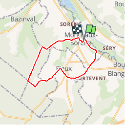
Tour Wandern von 10,4 km verfügbar auf Normandie, Seine-Maritime, Monchaux-Soreng. Diese Tour wird von tracegps vorgeschlagen.
Circuit proposé par l'Office de Tourisme de Blangy sur Bresle. Dos à l'église prendre à gauche, puis la 2éme rue à droite. A la fourche tourner à gauche pour rejoindre la rue du Bosquet que l'on poursuit par la droite jusqu'à la rue du Bois. On prend celle-ci à gauche et on la poursuit jusqu'à la forêt pour atteindre la route de Soreng. On la prend à gauche pour rejoindre le poteau de Mont Madame. On tourne 2 fois à gauche en direction de Rieux. Avant le village, prendre le chemin à droite que l'on poursuit pour contourner par la droite le Mont des Rieux. Une fois à la D 49, continuer tout droit jusqu'à la ligne de Chemin de fer et prendre à gauche la direction de Monchaux-Soreng. Retrouvez le plan de l'ensemble des circuits sur le site de l'Office de Tourisme de Blangy sur Bresle.
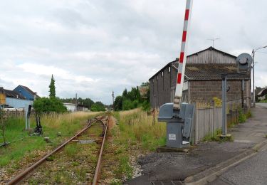
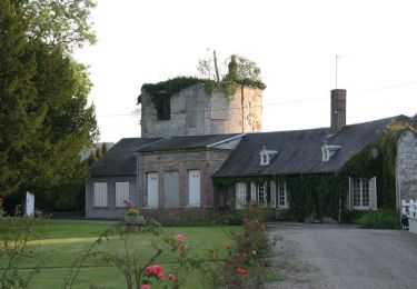
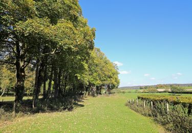
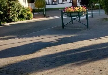
 - Monchaux-Soreng - Photo 1")
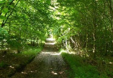
 - Monchaux-Soreng - Photo 2")
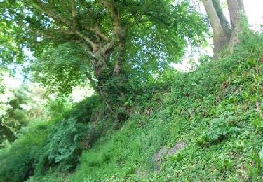
 - Monchaux-Soreng - Photo 3")
 - Monchaux-Soreng - Photo 4")
 - Monchaux-Soreng - Photo 5")
Zu Fuß
Zu Fuß
Zu Fuß

Wandern
Wandern

Pferd

Mountainbike
Wandern
Pferd