


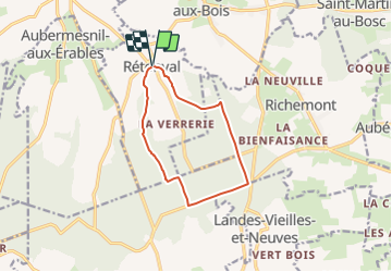

9,3 km | 11,4 km-effort

Benutzer


Kostenlosegpshiking-Anwendung
 SityTrail
IGN / Geografische Institute
SityTrail World
Die Welt öffnet sich für Sie
Tour Wandern von 9,3 km verfügbar auf Normandie, Seine-Maritime, Rétonval. Diese Tour wird von tracegps vorgeschlagen.
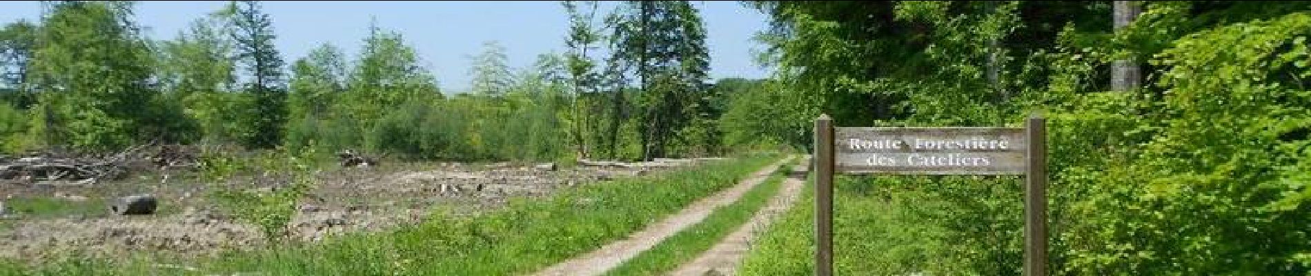
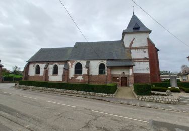
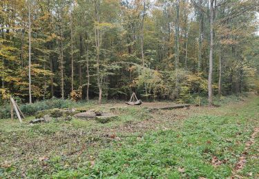
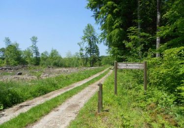
Circuit proposé par l'Office de Tourisme de Blangy sur Bresle. De l'église passez devant la mairie et tournez à gauche. Après 300m on rentre dans la forêt, à la bifurcation suivante on prend le chemin de gauche pour rejoindre la route centrale que l'on suit jusqu'au poteau Ernest Maire (Attention le poteau Ernest Maire est mal positionné sur certaines cartes). On prend à droite la route routière jusqu'à la route goudronnée. Prenez celle-ci jusqu'à la route forestière des Cateliers, vous la remontez jusqu'à la deuxième route goudronnée que l'on prend par la gauche pour rejoindre l'église. Retrouvez le plan de l'ensemble des circuits sur le site de l'Office de Tourisme de Blangy sur Bresle.
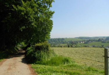
 - Rétonval - Photo 1")
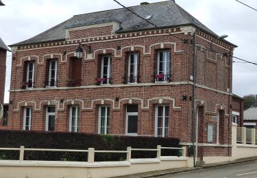
 - Rétonval - Photo 2")
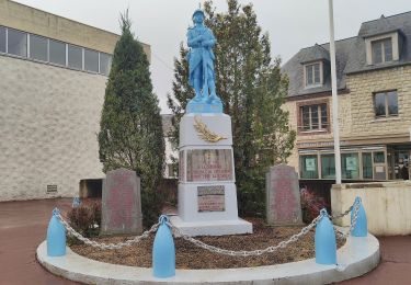
 - Rétonval - Photo 3")
 - Rétonval - Photo 4")
 - Rétonval - Photo 5")
Zu Fuß
Zu Fuß
Zu Fuß
Zu Fuß
Zu Fuß

Pferd
Mountainbike
Wandern
Pferd