


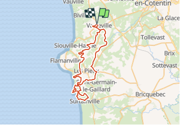

29 km | 35 km-effort

Benutzer


Kostenlosegpshiking-Anwendung
 SityTrail
IGN / Geografische Institute
SityTrail World
Die Welt öffnet sich für Sie
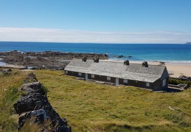
Tour Mountainbike von 57 km verfügbar auf Normandie, Manche, La Hague. Diese Tour wird von tracegps vorgeschlagen.
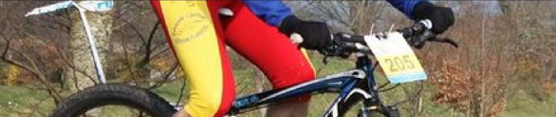
Randonnée pratiquée dans le cadre du "Chaudron de Thor" organisée par le club des Choumacs dont je félicite l'organisation ainsi que les sympathiques bénévoles. Le club "VTT les Haguards" vous invite à venir nous rejoindre les dimanches matins à 8h45 dans un rayon de 20 km autour de Cherbourg afin de découvrir de fabuleux sentiers dans une ambiance conviviale. Nous roulons environ 2h30 et parcourons environ 25 à 35 km. Les Haguards c'est aussi des adhérents qui n'hésitent pas à se déplacer sur des épreuves réputées dans tous l'hexagone tel que "La Gamelle Trophy, la Jean Racine, le roc d'azur, les Sentiers de la Hague^^ etc......


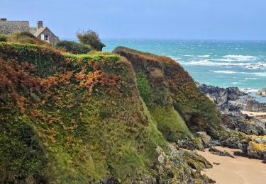
Wandern

Wandern
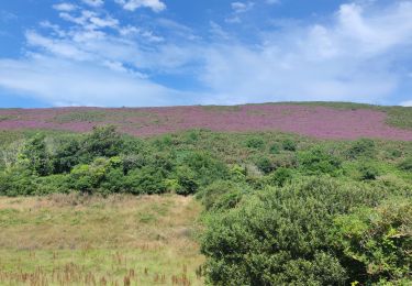
Wandern

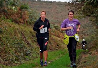
Laufen
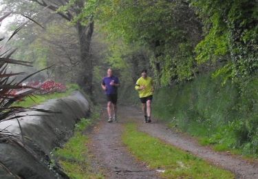
Mountainbike
Mountainbike

Mountainbike
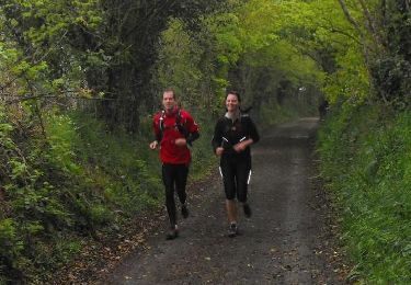
Laufen