


15 km | 18,8 km-effort


Benutzer


Kostenlosegpshiking-Anwendung
 SityTrail
IGN / Geografische Institute
SityTrail World
Die Welt öffnet sich für Sie
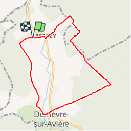
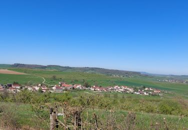
Tour Wandern von 8,2 km verfügbar auf Großer Osten, Vogesen, Domèvre-sur-Avière. Diese Tour wird von tracegps vorgeschlagen.
Boucle de 8 km partant de Domèvre sur Avière et passant pas le petit village de Perrey. Un circuit facile (1h20) et authentique pour les amateurs comme les passionnés.

Zu Fuß


sport
Wandern

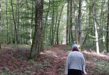
Wandern
Elektrofahrrad

Wandern

Wandern

Mountainbike