


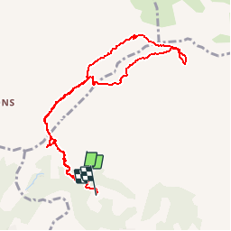

14,2 km | 24 km-effort

Benutzer


Kostenlosegpshiking-Anwendung
 SityTrail
IGN / Geografische Institute
SityTrail World
Die Welt öffnet sich für Sie
Tour Wandern von 9,8 km verfügbar auf Provence-Alpes-Côte d'Azur, Bouches-du-Rhône, Aubagne. Diese Tour wird von tracegps vorgeschlagen.
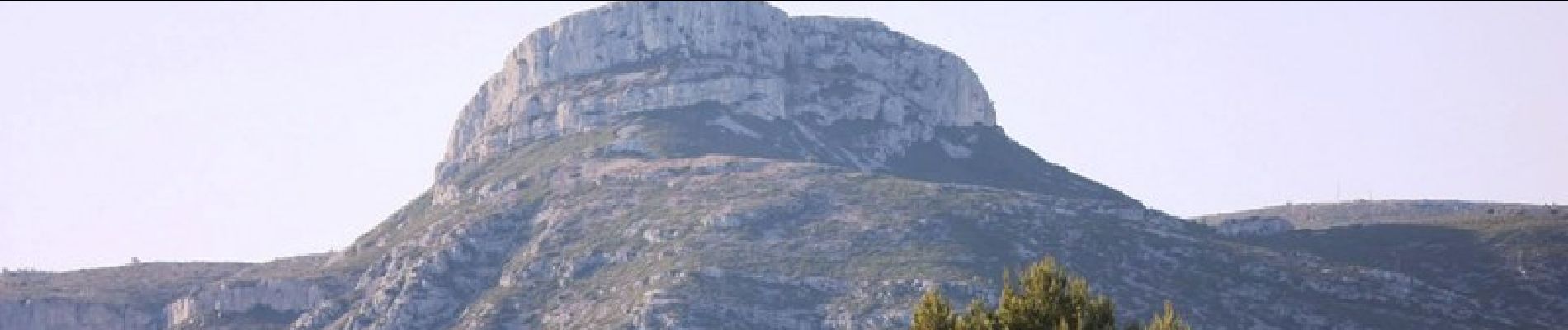
Sur les traces de Pagnol, circuit de 10 kms en passant par la grotte Manon et le Garlaban qui domine Aubagne et au loin Marseille.


Wandern

Wandern

Zu Fuß

Wandern

Wandern

Wandern
Wandern
Andere Aktivitäten
Wandern