![](/images/other/stat-length.png)
![Tour Wandern Saint-Rémy-lès-Chevreuse - St. Rémy lès Chevreuse à Limours - Photo](https://media.geolcdn.com/t/1900/400/9c6495e8-f9f1-44a5-873b-d3f7ae09aef5.jpg&format=pjpeg&maxdim=2)
St. Rémy lès Chevreuse à Limours
ABICHE
Benutzer
![Länge](/images/other/stat-length.png)
Länge
24 km
![Maximale Höhe](https://static1.geolcdn.com/siteimages/upload/files/1508320355ic_sort_altitude_max_24dp.png)
Maximale Höhe
181 m
![Positive Höhendifferenz](https://static1.geolcdn.com/siteimages/upload/files/1508320355ic_sort_den_pos_24dp.png)
Positive Höhendifferenz
323 m
![Km-Effort](/images/other/stat-length.png)
Km-Effort
29 km
![Min. Höhe](https://static1.geolcdn.com/siteimages/upload/files/1508320355ic_sort_altitude_min_24dp.png)
Min. Höhe
62 m
![Negative Höhendifferenz](https://static1.geolcdn.com/siteimages/upload/files/1508320355ic_sort_den_neg_24dp.png)
Negative Höhendifferenz
271 m
![Boucle](https://static1.geolcdn.com/siteimages/upload/files/16400158638029165_repeat_loop_refresh_sync_direction_icon.png)
Boucle
Nein
Erstellungsdatum :
2019-07-19 06:13:41.556
Letzte Änderung :
2019-07-19 16:12:08.539
![Wandern](https://static1.geolcdn.com/sitytour/trail-icons/101.png)
5h30
Schwierigkeit : Einfach
![Scannen Sie diesen QR-Code, um die Tour in der SityTrail-Anwendung zu öffnen](https://capi.geolives.com/qq0zvz2zws4bq2lad0pu/sitytour/trails/2144589/qr.png?size=200)
Kostenlosegpshiking-Anwendung
Über SityTrail
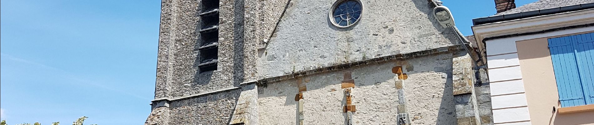
Tour Wandern von 24 km verfügbar auf Île-de-France, Yvelines, Saint-Rémy-lès-Chevreuse. Diese Tour wird von ABICHE vorgeschlagen.
Beschreibung
(19/7/2019) Pas de difficultés pour cette randonnée. Attention cependant à prendre le chemin qui longe l'ancien aérotrain expérimental par la droite car le chemin qui se trouve à sa gauche est quasiment impraticable et n'est pas entretenu.
Ort
Land:
France
Region :
Île-de-France
Abteilung/Provinz :
Yvelines
Kommune :
Saint-Rémy-lès-Chevreuse
Standort:
Unknown
Gehen Sie:(Dec)
Gehen Sie:(UTM)
431552 ; 5394770 (31U) N.
Kommentare
Touren in der Umgebung
![Tour Wandern Saint-Rémy-lès-Chevreuse - _Entre vallées et châteaux - Photo](https://media.geolcdn.com/t/375/260/ext.jpg?maxdim=2&url=https%3A%2F%2Fservices.sitytrail.com%2FGeolivesWS%2FDownloadMedia.ashx%3FTrailID%3D775643%26Media%3Dde7a4f97-3e1e-4613-9986-4282e306d83b.JPG)
![Wandern Wandern](https://static1.geolcdn.com/sitytour/trail-icons/101.png)
_Entre vallées et châteaux
Wandern
Medium
(13)
Saint-Rémy-lès-Chevreuse,
Île-de-France,
Yvelines,
France
![](/images/other/stat-length.png)
7,8 km | 9,6 km-effort
2h 0min
![](https://static1.geolcdn.com/siteimages/upload/files/16400158638029165_repeat_loop_refresh_sync_direction_icon.png)
Ja
![Tour Wandern Chevreuse - _La balade de tous les plaisirs - Photo](https://media.geolcdn.com/t/375/260/ext.jpg?maxdim=2&url=https%3A%2F%2Fservices.sitytrail.com%2FGeolivesWS%2FDownloadMedia.ashx%3FTrailID%3D754966%26Media%3D761e5f27-0704-4761-a8b3-7fd3e291dd40.jpg)
![Wandern Wandern](https://static1.geolcdn.com/sitytour/trail-icons/101.png)
_La balade de tous les plaisirs
Wandern
Einfach
(8)
Chevreuse,
Île-de-France,
Yvelines,
France
![](/images/other/stat-length.png)
5,5 km | 7 km-effort
1h 30min
![](https://static1.geolcdn.com/siteimages/upload/files/16400158638029165_repeat_loop_refresh_sync_direction_icon.png)
Ja
![Tour Wandern Chevreuse - _Sur les pas de Racine (première partie) - Photo](https://media.geolcdn.com/t/375/260/ext.jpg?maxdim=2&url=https%3A%2F%2Fservices.sitytrail.com%2FGeolivesWS%2FDownloadMedia.ashx%3FTrailID%3D745166%26Media%3Dd5380f95-aa62-43a2-a37c-8510f53d593d.JPG)
![Wandern Wandern](https://static1.geolcdn.com/sitytour/trail-icons/101.png)
_Sur les pas de Racine (première partie)
Wandern
Einfach
(7)
Chevreuse,
Île-de-France,
Yvelines,
France
![](/images/other/stat-length.png)
10,7 km | 14,5 km-effort
2h 30min
![](https://static1.geolcdn.com/siteimages/upload/files/16400158638029165_repeat_loop_refresh_sync_direction_icon.png)
Ja
![Tour Wandern Choisel - _Si Choisel m'était conté - Photo](https://media.geolcdn.com/t/375/260/ext.jpg?maxdim=2&url=https%3A%2F%2Fservices.sitytrail.com%2FGeolivesWS%2FDownloadMedia.ashx%3FTrailID%3D172083%26Media%3De60082f0-edf4-45f4-997a-35e9c7c799de.jpg)
![Wandern Wandern](https://static1.geolcdn.com/sitytour/trail-icons/101.png)
_Si Choisel m'était conté
Wandern
Einfach
(8)
Choisel,
Île-de-France,
Yvelines,
France
![](/images/other/stat-length.png)
5,6 km | 6,6 km-effort
1h 27min
![](https://static1.geolcdn.com/siteimages/upload/files/16400158638029165_repeat_loop_refresh_sync_direction_icon.png)
Ja
![Tour Wandern Gif-sur-Yvette - _Gif sur Yvette, une ville à la campagne - Photo](https://media.geolcdn.com/t/375/260/ext.jpg?maxdim=2&url=https%3A%2F%2Fservices.sitytrail.com%2FGeolivesWS%2FDownloadMedia.ashx%3FTrailID%3D779352%26Media%3D6efce478-230b-4926-9641-e6f0bf2b902d.jpg)
![Wandern Wandern](https://static1.geolcdn.com/sitytour/trail-icons/101.png)
_Gif sur Yvette, une ville à la campagne
Wandern
Medium
(3)
Gif-sur-Yvette,
Île-de-France,
Essonne,
France
![](/images/other/stat-length.png)
8,6 km | 10,5 km-effort
2h 0min
![](https://static1.geolcdn.com/siteimages/upload/files/16400158638029165_repeat_loop_refresh_sync_direction_icon.png)
Ja
![Tour Wandern Magny-les-Hameaux - _La Vallée de la Mérantaise - Photo](https://media.geolcdn.com/t/375/260/ext.jpg?maxdim=2&url=https%3A%2F%2Fservices.sitytrail.com%2FGeolivesWS%2FDownloadMedia.ashx%3FTrailID%3D755616%26Media%3Deae23003-4ad7-4454-b083-3d96818374a8.jpg)
![Wandern Wandern](https://static1.geolcdn.com/sitytour/trail-icons/101.png)
_La Vallée de la Mérantaise
Wandern
Einfach
(5)
Magny-les-Hameaux,
Île-de-France,
Yvelines,
France
![](/images/other/stat-length.png)
9,7 km | 11,6 km-effort
2h 30min
![](https://static1.geolcdn.com/siteimages/upload/files/16400158638029165_repeat_loop_refresh_sync_direction_icon.png)
Ja
![Tour Wandern Saint-Lambert - _Sur les pas de Racine (deuxième partie) - Photo](https://media.geolcdn.com/t/375/260/ext.jpg?maxdim=2&url=https%3A%2F%2Fservices.sitytrail.com%2FGeolivesWS%2FDownloadMedia.ashx%3FTrailID%3D745749%26Media%3Db1edb432-b6c8-43f7-9f4b-66b807e05156.jpg)
![Wandern Wandern](https://static1.geolcdn.com/sitytour/trail-icons/101.png)
_Sur les pas de Racine (deuxième partie)
Wandern
Einfach
(2)
Saint-Lambert,
Île-de-France,
Yvelines,
France
![](/images/other/stat-length.png)
10,5 km | 12,5 km-effort
2h 30min
![](https://static1.geolcdn.com/siteimages/upload/files/16400158638029165_repeat_loop_refresh_sync_direction_icon.png)
Ja
![Tour Wandern Châteaufort - gitane à Chateaufort - Photo](https://media.geolcdn.com/t/375/260/ddb88f28-eed1-407a-8537-509b49789196.jpg&format=jpg&maxdim=2)
![Wandern Wandern](https://static1.geolcdn.com/sitytour/trail-icons/101.png)
gitane à Chateaufort
Wandern
Einfach
(1)
Châteaufort,
Île-de-France,
Yvelines,
France
![](/images/other/stat-length.png)
6,4 km | 7,7 km-effort
2h 3min
![](https://static1.geolcdn.com/siteimages/upload/files/16400158638029165_repeat_loop_refresh_sync_direction_icon.png)
Ja
![Tour Wandern Milon-la-Chapelle - Yvelines_Milon-La-Chapelle=>Chemins_Beauregard&Jean-Racine=>Chevreuse - Photo](https://media.geolcdn.com/t/375/260/b9995b45-7638-4793-a22c-e5ba9a678abe.jpg&format=jpg&maxdim=2)
![Wandern Wandern](https://static1.geolcdn.com/sitytour/trail-icons/101.png)
Yvelines_Milon-La-Chapelle=>Chemins_Beauregard&Jean-Racine=>Chevreuse
Wandern
Einfach
(1)
Milon-la-Chapelle,
Île-de-France,
Yvelines,
France
![](/images/other/stat-length.png)
9,3 km | 12,7 km-effort
1h 56min
![](https://static1.geolcdn.com/siteimages/upload/files/16400158638029165_repeat_loop_refresh_sync_direction_icon.png)
Ja