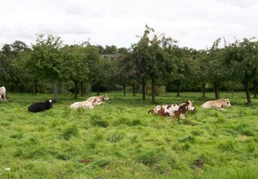
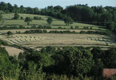
9,3 km | 12,1 km-effort
Gavray - Circuit long
lionelnottat
Benutzer
Länge
16,6 km
Maximale Höhe
169 m
Positive Höhendifferenz
328 m
Km-Effort
21 km
Min. Höhe
29 m
Negative Höhendifferenz
331 m
Boucle
Ja
Erstellungsdatum :
2019-07-19 08:59:34.326
Letzte Änderung :
2019-07-19 09:00:25.362
4h31
Schwierigkeit : Sehr schwierig
Kostenlosegpshiking-Anwendung
Über SityTrail
Tour Wandern von 16,6 km verfügbar auf Normandie, Manche, Gavray-sur-Sienne. Diese Tour wird von lionelnottat vorgeschlagen.
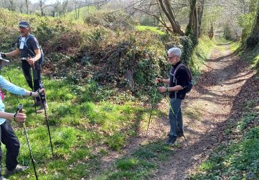
Ort
Land:
France
Region :
Normandie
Abteilung/Provinz :
Manche
Kommune :
Gavray-sur-Sienne
Standort:
Gavray
Gehen Sie:(Dec)
Gehen Sie:(UTM)
620754 ; 5419018 (30U) N.
Kommentare
Touren in der Umgebung
Gavray 7,5 km
Nordic Walking
Sehr leicht
(1)
La Baleine,
Normandie,
Manche,
France
7,4 km | 9,8 km-effort
1h 56min
Ja
Gavray 8,5 km
Nordic Walking
Sehr leicht
(1)
La Baleine,
Normandie,
Manche,
France
6 km | 8,1 km-effort
1h 56min
Ja
gavray
Mountainbike
Sehr leicht
Gavray-sur-Sienne,
Normandie,
Manche,
France
24 km | 29 km-effort
2h 31min
Ja
Randonnée autour de Gavray
Mountainbike
Schwierig
Gavray-sur-Sienne,
Normandie,
Manche,
France
31 km | 39 km-effort
2h 45min
Nein
gavray 2
Mountainbike
Medium
Saint-Denis-le-Gast,
Normandie,
Manche,
France
21 km | 26 km-effort
2h 4min
Ja
Entre Batterel et Sienne - Cérences
Wandern
Medium
Cérences,
Normandie,
Manche,
France
11,7 km | 14 km-effort
2h 19min
Ja
Les Bois - Cérences
Wandern
Medium
Cérences,
Normandie,
Manche,
France
7,3 km | 9,4 km-effort
2h 0min
Ja
La Rue Cavée - Le Mesnil Aubert
Wandern
Medium
Le Mesnil-Aubert,
Normandie,
Manche,
France
10,1 km | 11,7 km-effort
2h 0min
Ja
Long et un peu ennuyeux long et un peu ennuyeux