
Du roulant entre Belley et Chazey-Bons

jeannot01
Benutzer

Länge
25 km

Maximale Höhe
320 m

Positive Höhendifferenz
385 m

Km-Effort
30 km

Min. Höhe
228 m

Negative Höhendifferenz
384 m
Boucle
Ja
Erstellungsdatum :
2019-07-10 15:43:42.991
Letzte Änderung :
2019-07-10 20:20:22.444
1h59
Schwierigkeit : Sehr leicht

Kostenlosegpshiking-Anwendung
Über SityTrail
Tour Mountainbike von 25 km verfügbar auf Auvergne-Rhone-Alpen, Ain, Belley. Diese Tour wird von jeannot01 vorgeschlagen.
Beschreibung
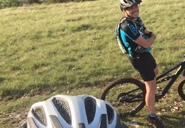
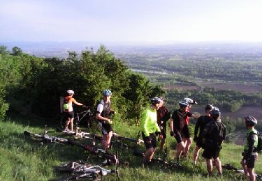
Faute de temps, nous avons décidé de faire un parcours roulant entre Belley et Chazey-Bons.
La végétation abondante à certains endroits nous a pas mal ralenti.
Bien choisir la période
Ort
Land:
France
Region :
Auvergne-Rhone-Alpen
Abteilung/Provinz :
Ain
Kommune :
Belley
Standort:
Unknown
Gehen Sie:(Dec)
Gehen Sie:(UTM)
708663 ; 5069713 (31T) N.
Kommentare
Touren in der Umgebung

Inimond depuis Belley par le chemin forestier


Mountainbike
Schwierig
(1)
Belley,
Auvergne-Rhone-Alpen,
Ain,
France

39 km | 54 km-effort
3h 0min
Ja

29-04


Mountainbike
Schwierig
(1)
Belley,
Auvergne-Rhone-Alpen,
Ain,
France

35 km | 46 km-effort
3h 0min
Ja

Entre lac et rivière


Mountainbike
Schwierig
(1)
Pollieu,
Auvergne-Rhone-Alpen,
Ain,
France

30 km | 36 km-effort
2h 13min
Ja

Entre Belley et Vognes en passant par le lac de ST Champs


Mountainbike
Sehr leicht
(1)
Belley,
Auvergne-Rhone-Alpen,
Ain,
France

25 km | 32 km-effort
2h 28min
Ja

Belley-Colomieu-Appregnin


Mountainbike
Schwierig
(1)
Belley,
Auvergne-Rhone-Alpen,
Ain,
France

32 km | 41 km-effort
2h 32min
Ja

Boucles dans Rothones sous la pluie


Mountainbike
Medium
(1)
Belley,
Auvergne-Rhone-Alpen,
Ain,
France

24 km | 32 km-effort
1h 50min
Ja

6-5-15


Mountainbike
Sehr leicht
(1)
Saint-Germain-les-Paroisses,
Auvergne-Rhone-Alpen,
Ain,
France

25 km | 37 km-effort
2h 57min
Ja

03-9-14


Mountainbike
Sehr leicht
(1)
Belley,
Auvergne-Rhone-Alpen,
Ain,
France

32 km | 42 km-effort
2h 32min
Ja

9-4-14


Mountainbike
Medium
(1)
Belley,
Auvergne-Rhone-Alpen,
Ain,
France

25 km | 32 km-effort
2h 32min
Ja


 SityTrail


