


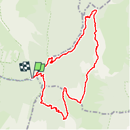

13,1 km | 24 km-effort


Benutzer


Kostenlosegpshiking-Anwendung
 SityTrail
IGN / Geografische Institute
SityTrail World
Die Welt öffnet sich für Sie
Tour Wandern von 10,7 km verfügbar auf Auvergne-Rhone-Alpen, Savoyen, Jarsy. Diese Tour wird von margotte vorgeschlagen.
belle montée raide avec une flore exceptionnelle et la rencontre des sangliers et des mouflons..Végétation haute, ne pas craindre d'être mouillé jusqu'au cuisse.

Wandern
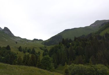
Wandern

Wandern

Wandern

Reiten

Wandern

Wandern

Wandern
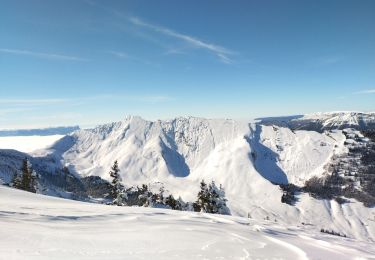
Skiwanderen