


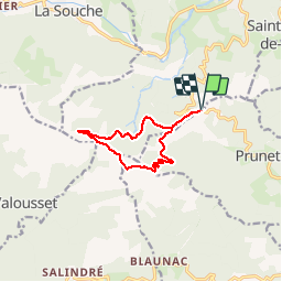

13,6 km | 23 km-effort

Benutzer


Kostenlosegpshiking-Anwendung
 SityTrail
IGN / Geografische Institute
SityTrail World
Die Welt öffnet sich für Sie
Tour Laufen von 10,4 km verfügbar auf Auvergne-Rhone-Alpen, Ardèche, Jaujac. Diese Tour wird von narberd vorgeschlagen.
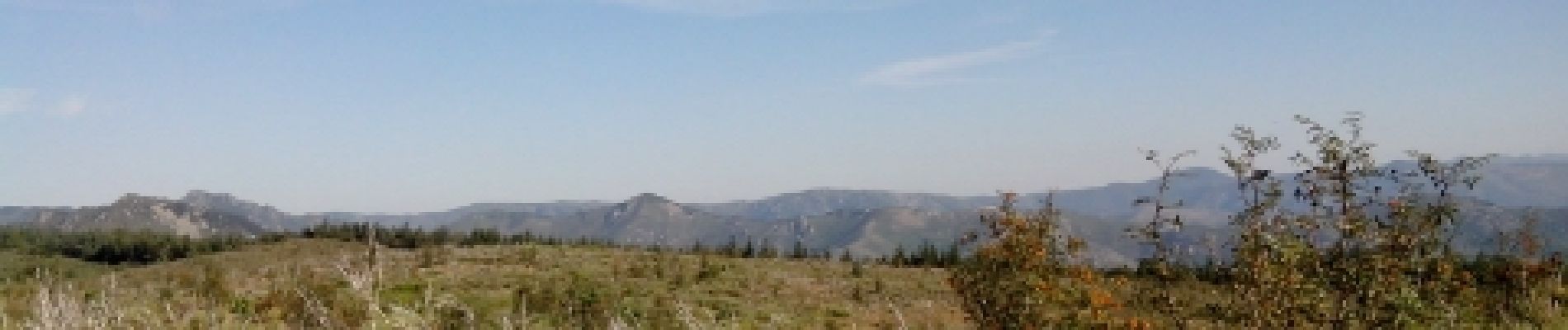
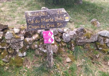
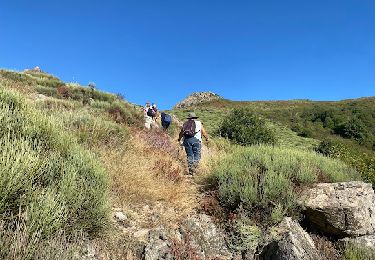
la cham du cros depuis la croix de millet. Départ par la piste de la croix de bauzon jusqu'au col du merle. Retour par une nouvelle piste sur le versant est.


Wandern
Wandern

Wandern

Wandern

Wandern

sport

Wandern
Wandern
Wandern