


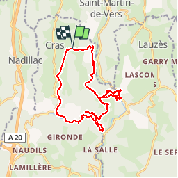

13,6 km | 19 km-effort


Benutzer


Kostenlosegpshiking-Anwendung
 SityTrail
IGN / Geografische Institute
SityTrail World
Die Welt öffnet sich für Sie
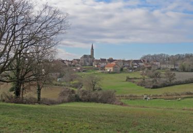
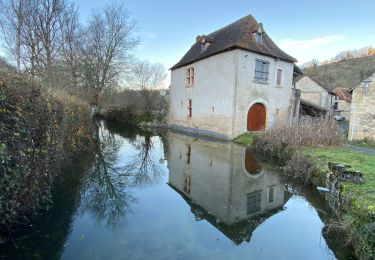
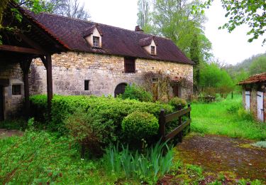
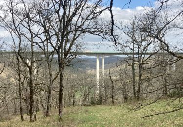
Tour Wandern von 18,4 km verfügbar auf Okzitanien, Lot, Cras. Diese Tour wird von Glurps vorgeschlagen.
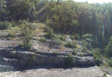
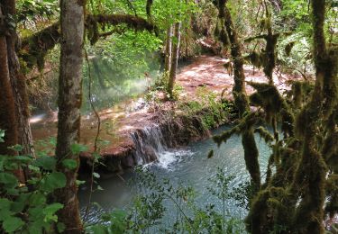
Attention la boucle dans l oppidum est sportive au niveau des falaises pour la remontée depuis la rivière par la grotte des blés


Wandern
Wandern
Wandern

Wandern
Wandern
Wandern

Mountainbike
Mountainbike
Wandern