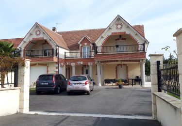
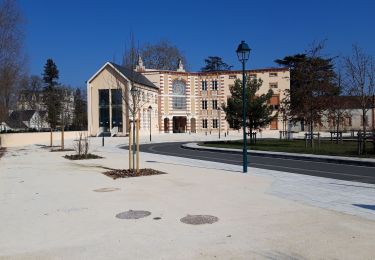
Tour Radtourismus  Romorantin-Lanthenay - boucle Romorantin  - Photo
 levequejef
levequejef

Benutzer

© OpenStreetMap contributors
Länge
Länge
28 km
Maximale Höhe
Maximale Höhe
133 m
Positive Höhendifferenz
199 m
Km-Effort
Km-Effort  
31 km
Min. Höhe
Min. Höhe
88 m
Negative Höhendifferenz
198 m
Boucle
Boucle
Ja
Erstellungsdatum :
2019-07-08 07:44:30.885
Letzte Änderung :
2019-07-08 09:35:52.418

(0 Nachricht)

Radtourismus
Radtourismus
1h50
Schwierigkeit : Sehr leicht

Scannen Sie diesen QR-Code, um die Tour in der SityTrail-Anwendung zu öffnen

Kostenlosegpshiking-Anwendung

Logo SityTrail SityTrail

IGN / Geografische Institute

SityTrail aus dem App Store herunterladen SityTrail von Google Play herunterladen

Logo SityTrail SityTrail World

Die Welt öffnet sich für Sie

SityTrail aus dem App Store herunterladen SityTrail von Google Play herunterladen SityTrail auf Huawei AppGallery herunterladen

Über SityTrail

Tour Radtourismus von 28 km verfügbar auf Zentrum-Loiretal, Loir-et-Cher, Romorantin-Lanthenay. Diese Tour wird von levequejef vorgeschlagen.

Höhenprofil

Ort

Land:
France
Region :
Zentrum-Loiretal
Abteilung/Provinz :
Loir-et-Cher
Kommune :
Romorantin-Lanthenay
Standort:
Unknown
Gehen Sie:(UTM)
403644 ; 5246821 (31T) N.

Touren in der Umgebung

Tour Laufen Romorantin-Lanthenay - boucle Romorantin  - Photo
Laufen
levequejef

Laufen

Sehr leicht
Romorantin-Lanthenay, Zentrum-Loiretal, Loir-et-Cher, France
14,6 km | 15,9 km-effort
2h 6min
Ja
Tour Nordic Walking Romorantin-Lanthenay - boucle Romorantin  - Photo
Nordic Walking
levequejef

Nordic Walking

Sehr leicht
Romorantin-Lanthenay, Zentrum-Loiretal, Loir-et-Cher, France
7,6 km | 8,3 km-effort
1h 37min
Ja
Tour Wandern Pruniers-en-Sologne - lassay la chatre - Photo
Wandern
lecmic

Wandern

Einfach
Pruniers-en-Sologne, Zentrum-Loiretal, Loir-et-Cher, France
11,4 km | 12,6 km-effort
2h 35min
Ja
Tour Rennrad Romorantin-Lanthenay - romo marcilly romo  - Photo
Rennrad
mimilolo

Rennrad

Sehr leicht
Romorantin-Lanthenay, Zentrum-Loiretal, Loir-et-Cher, France
40 km | 44 km-effort
1h 48min
Ja
Tour Wandern Romorantin-Lanthenay - Romo Valençay  - Photo
Wandern
lecmic

Wandern

Medium
Romorantin-Lanthenay, Zentrum-Loiretal, Loir-et-Cher, France
36 km | 40 km-effort
7h 26min
Nein
Tour Wandern Romorantin-Lanthenay - romorantin - Photo
Wandern
lecmic

Wandern

Einfach
Romorantin-Lanthenay, Zentrum-Loiretal, Loir-et-Cher, France
11 km | 12,1 km-effort
1h 46min
Ja
Tour Nordic Walking Pruniers-en-Sologne - pruniers - Photo
Nordic Walking
lecmic

Nordic Walking

Sehr leicht
Pruniers-en-Sologne, Zentrum-Loiretal, Loir-et-Cher, France
12 km | 13,2 km-effort
2h 41min
Ja
Tour Wandern Romorantin-Lanthenay - romorantin chabris - Photo
Wandern
lecmic

Wandern

Sehr leicht
Romorantin-Lanthenay, Zentrum-Loiretal, Loir-et-Cher, France
19 km | 20 km-effort
4h 9min
Nein
Tour Laufen Romorantin-Lanthenay - romorantin - Photo
Laufen
levequejef

Laufen

Einfach
Romorantin-Lanthenay, Zentrum-Loiretal, Loir-et-Cher, France
5,7 km | 6,2 km-effort
2h 0min
Nein


Schließen
Meine Abonnements