


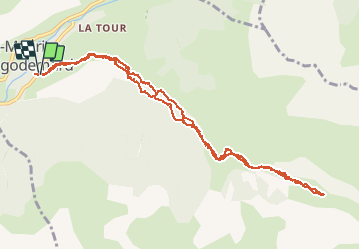

19,8 km | 46 km-effort

Benutzer


Kostenlosegpshiking-Anwendung
 SityTrail
IGN / Geografische Institute
SityTrail World
Die Welt öffnet sich für Sie
Tour Wandern von 12 km verfügbar auf Provence-Alpes-Côte d'Azur, Hochalpen, Saint-Maurice-en-Valgodemard. Diese Tour wird von ETMU5496 vorgeschlagen.
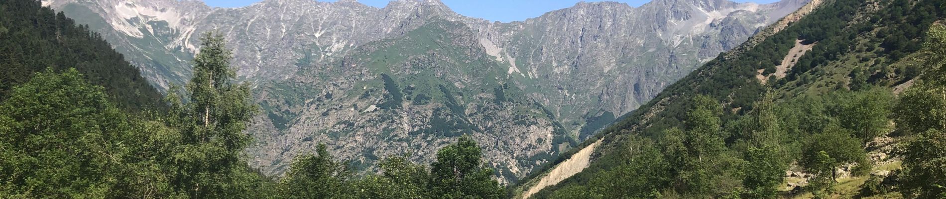
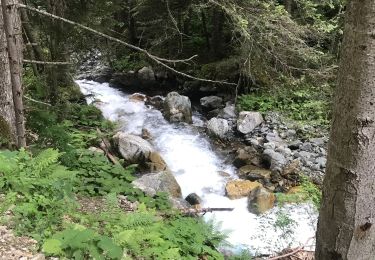
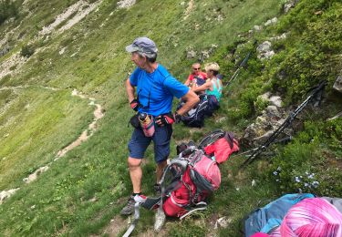
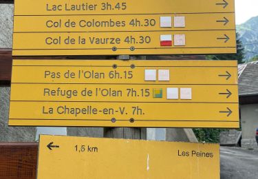
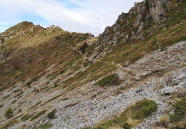
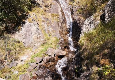
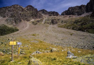
Portion du tour des Chaillots
On longe joli torrent et à l’ombre pour arriver au pied de la montée ensuite raide vers le col de Pétarel. Retour même chemin


Wandern

Wandern
Wandern
Wandern
Wandern
Wandern
Wandern

Wandern
Wandern