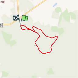

17,9 km | 23 km-effort

Benutzer


Kostenlosegpshiking-Anwendung
 SityTrail
IGN / Geografische Institute
SityTrail World
Die Welt öffnet sich für Sie
Tour Wandern von 5,4 km verfügbar auf Wallonien, Luxemburg, Martelingen. Diese Tour wird von alfreson vorgeschlagen.
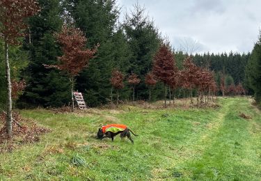
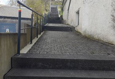
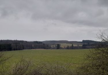
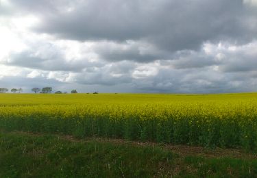
Entre Ebly et Traimont, balade dans les bois et les chemins agricoles. Sapins, feuillus, il y en a pour tous les goûts.


Wandern
Wandern
Wandern
Wandern

Fahrrad
Mountainbike
Mountainbike
Wandern