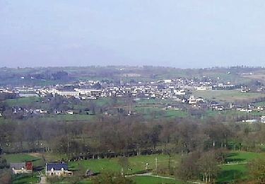
8,8 km | 10,9 km-effort
Activity
Ceclm
Benutzer
Länge
14 km
Maximale Höhe
279 m
Positive Höhendifferenz
191 m
Km-Effort
16,5 km
Min. Höhe
166 m
Negative Höhendifferenz
169 m
Boucle
Nein
Erstellungsdatum :
2019-06-18 13:14:51.383
Letzte Änderung :
2019-06-28 08:14:03.529
--
Schwierigkeit : Medium
Kostenlosegpshiking-Anwendung
Über SityTrail
Tour Radtourismus von 14 km verfügbar auf Normandie, Manche, Sourdeval. Diese Tour wird von Ceclm vorgeschlagen.
Beschreibung
Mont St Michel Vélo
Ort
Land:
France
Region :
Normandie
Abteilung/Provinz :
Manche
Kommune :
Sourdeval
Standort:
Sourdeval
Gehen Sie:(Dec)
Gehen Sie:(UTM)
652548 ; 5399028 (30U) N.
Kommentare
Touren in der Umgebung
Espace VTT FFC de la Vallée de la Sée - circuit n°12 - En passant par l'étang...
Mountainbike
Einfach
Sourdeval,
Normandie,
Manche,
France
7,4 km | 9,1 km-effort
1h 30min
Ja
Espace VTT FFC de la Vallée de la Sée - circuit n°11 - A la croisée de la Sée...
Mountainbike
Medium
Sourdeval,
Normandie,
Manche,
France
13,9 km | 17,2 km-effort
1h 30min
Ja
Espace VTT FFC de la Vallée de la Sée - circuit n°10 - De la Vallée au Belvéd...
Mountainbike
Schwierig
Sourdeval,
Normandie,
Manche,
France
25 km | 30 km-effort
2h 30min
Ja
Espace VTT FFC de la Vallée de la Sée - circuit n°9 - Moulins, Couverts et Po...
Mountainbike
Sehr schwierig
Sourdeval,
Normandie,
Manche,
France
37 km | 45 km-effort
2h 30min
Ja
Sourdeval-Mortain
Rennrad
Schwierig
Sourdeval,
Normandie,
Manche,
France
26 km | 32 km-effort
5h 31min
Nein
Sourdeval chaulieu d39
Radtourismus
Einfach
Sourdeval,
Normandie,
Manche,
France
3,1 km | 3,5 km-effort
30min
Nein
Chaulieu hotspots
Rennrad
Schwierig
Sourdeval,
Normandie,
Manche,
France
27 km | 34 km-effort
4h 19min
Nein
Sourdeval-Vire voie verte
Rennrad
Medium
Sourdeval,
Normandie,
Manche,
France
26 km | 30 km-effort
3h 14min
Nein