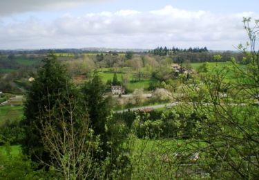
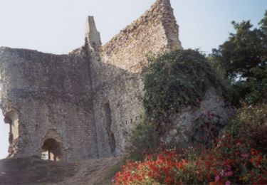
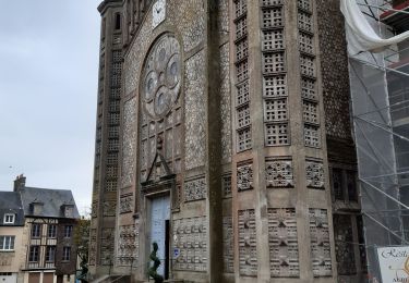
12,4 km | 15,4 km-effort
Activity
Ceclm
Benutzer
Länge
34 km
Maximale Höhe
266 m
Positive Höhendifferenz
416 m
Km-Effort
39 km
Min. Höhe
135 m
Negative Höhendifferenz
358 m
Boucle
Nein
Erstellungsdatum :
2019-06-17 16:07:38.228
Letzte Änderung :
2019-06-20 13:36:11.834
--
Schwierigkeit : Medium
Kostenlosegpshiking-Anwendung
Über SityTrail
Tour Radtourismus von 34 km verfügbar auf Normandie, Orne, Domfront en Poiraie. Diese Tour wird von Ceclm vorgeschlagen.
Beschreibung
Vélo Francette
Ort
Land:
France
Region :
Normandie
Abteilung/Provinz :
Orne
Kommune :
Domfront en Poiraie
Standort:
La Haute-Chapelle
Gehen Sie:(Dec)
Gehen Sie:(UTM)
672814 ; 5384990 (30U) N.
Kommentare
Touren in der Umgebung
La Chapelle du Cérisier - Domfront
Wandern
Medium
Domfront en Poiraie,
Normandie,
Orne,
France
3h 0min
Ja
Espace VTT FFC les Ecureuils du Domfrontais - Circuit n°10 - La Nocherie
Mountainbike
Medium
Domfront en Poiraie,
Normandie,
Orne,
France
21 km | 26 km-effort
3h 0min
Ja
Espace VTT FFC les Ecureuils du Domfrontais - Circuit n°07 - Saint Bômer Les ...
Mountainbike
Schwierig
Domfront en Poiraie,
Normandie,
Orne,
France
23 km | 29 km-effort
3h 0min
Ja
Véloscenie
Radtourismus
Sehr schwierig
Domfront en Poiraie,
Normandie,
Orne,
France
42 km | 46 km-effort
4h 30min
Nein
dontfront
Wandern
Einfach
Domfront en Poiraie,
Normandie,
Orne,
France
2,4 km | 3 km-effort
1h 3min
Ja
La Vélo Francette de Domfront par Saint Fraimbault
Fahrrad
Einfach
Domfront en Poiraie,
Normandie,
Orne,
France
26 km | 29 km-effort
3h 0min
Nein
Domfront circuit Pittoresque Site Monts et Marches
Wandern
Einfach
Domfront en Poiraie,
Normandie,
Orne,
France
3,7 km | 5 km-effort
1h 10min
Ja
Véloscénie Domfront - Mortain
Radtourismus
Sehr leicht
Domfront en Poiraie,
Normandie,
Orne,
France
35 km | 39 km-effort
2h 40min
Nein
Domfront / la Fosse Arthour par GR 22
Wandern
Einfach
Domfront en Poiraie,
Normandie,
Orne,
France
41 km | 49 km-effort
6h 15min
Nein