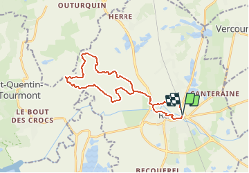

12,4 km | 12,8 km-effort


Benutzer


Kostenlosegpshiking-Anwendung
 SityTrail
IGN / Geografische Institute
SityTrail World
Die Welt öffnet sich für Sie
Tour Nordic Walking von 13,5 km verfügbar auf Nordfrankreich, Somme, Rue. Diese Tour wird von denissculier vorgeschlagen.
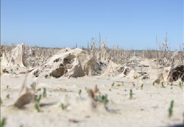
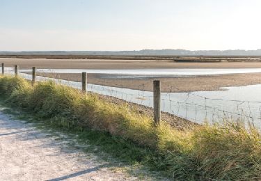
Un parcours culturel avec le riche passé de Rue et naturel avec le charme des terres plus basses que la mer.De cet ancien port au riche passé historique, partir vers les basses terres, sous le niveau de la mer, sillonnées de rus et de canaux.

Wandern

Fahrrad

Pferd
Zu Fuß
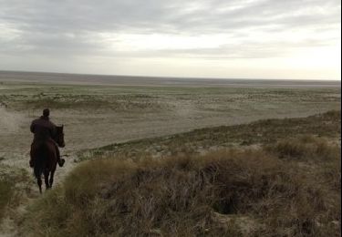
Pferd
Wandern
Wandern